
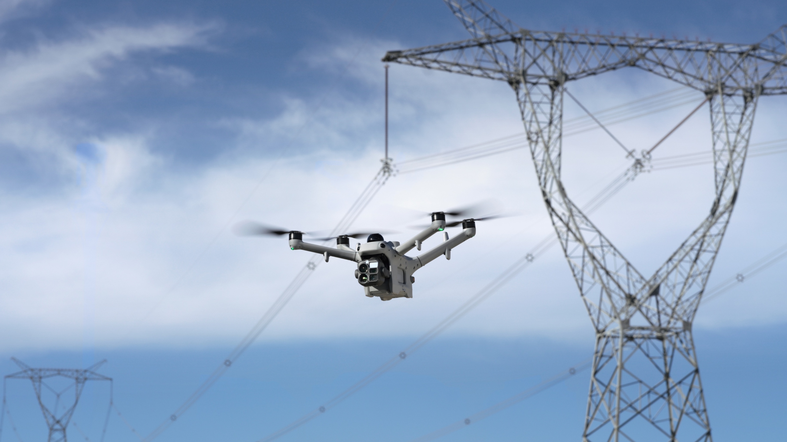
ROC – Remote Operation Center
Automated Drone Operations in Canada: Repeatable Data, Fewer People in Harm’s Way
Remote Robotic's ROC runs automated drones on your sites that inspect, patrol and survey the same way every time, on schedule, without sending anyone into the field.
Remote Robotic · October 20, 2026 · 8 min read
Most industrial inspections still depend on someone getting in a truck, driving to a site, walking the asset and taking photos. Every inspection is a little different: a different person, a different angle, different weather, a different level of attention.
The data is hard to compare, the coverage has gaps, and every trip puts people on remote roads and around hazardous equipment.
Remote Robotic’s Remote Operations Center (ROC) changes that. Automated drones on your sites carry out inspections, patrols and surveys the same way every time, on schedule, without sending anyone into the field.
Why automation matters
The problem with manual inspections
Inconsistent data
Different people capture different angles, distances and settings, so one inspection can’t be compared fairly with the next.
Missed details
Fatigue, weather and time pressure affect what gets checked and recorded.
Gaps in coverage
Inspections happen when crews are available, not when they’re needed.
Exposure to risk
People work at height, near energized equipment, on unstable ground, around hazardous areas and on long remote drives.
Slow response
When an alarm goes off, it can take hours to get eyes on site.
Records that are hard to trust
Handwritten notes and scattered photos make audits and comparisons difficult.
What automation delivers
- The same flight path, angle, altitude and zoom every time
- Inspections on a fixed schedule, day or night
- Rapid launch when an alarm goes off
- Fewer people exposed to hazards in the field
- Data that can be compared across days, weeks and years
- A complete, time-stamped digital record of every mission
Taking people out of harm’s way
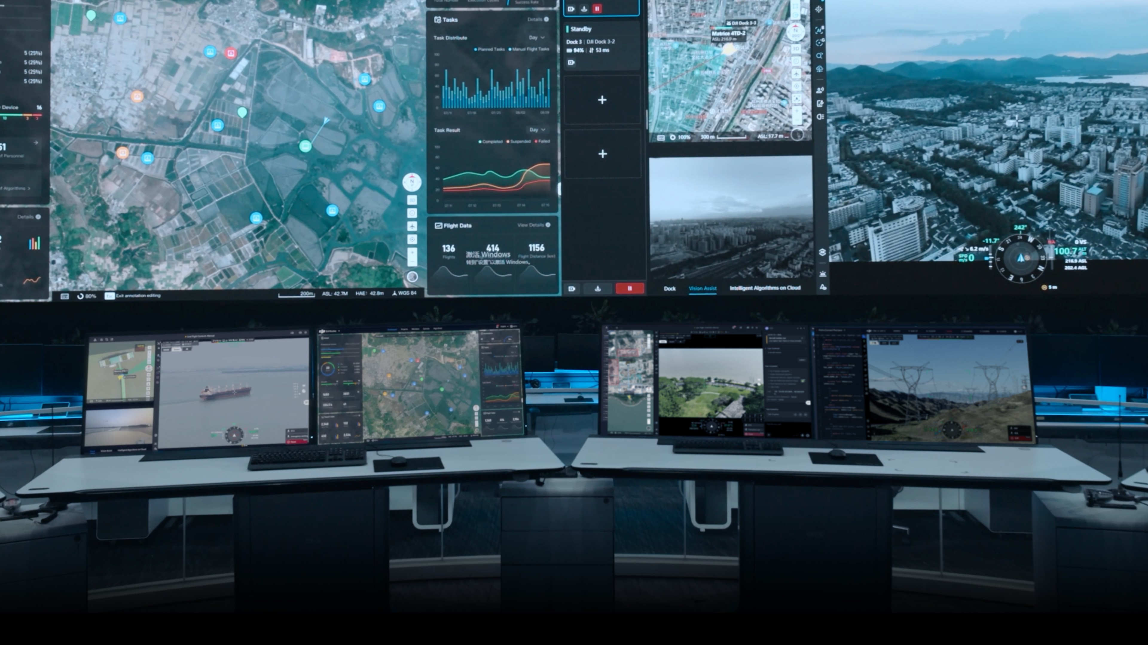
Automation doesn’t remove people from the process. It moves them from the field to the control room.
| Before automation | With the ROC |
|---|---|
| Crews drive long distances on remote roads. | The drone launches automatically from your site. |
| Inspectors climb towers, tanks and structures. | It flies to the asset and captures the data. |
| Workers approach hot, energized or hazardous equipment. | Licensed pilots oversee every flight remotely from the ROC. |
| Surveyors walk stockpiles, pit walls and blast zones. | Your team reviews the results from a laptop, tablet or phone. |
| Security staff patrol perimeters alone at night. | Crews go out only when there’s a confirmed issue to fix. |
The result: fewer truck rolls, fewer climbs, less time near hazards and safer operations overall.
Repeatable by design
Repeatability is the key to useful drone data. If every flight captures the same view, you can spot changes that would otherwise go unnoticed.
Saved mission routes
Every inspection route is built once and saved. The drone flies the same path every time, at the same altitude and speed, and stops at the same inspection points.
Same angle, every time
At each inspection point, the drone recaptures the target from the same position, angle and zoom as the last flight. You get true before-and-after comparisons of:
- A hot spot on electrical equipment
- A stain spreading around a wellhead
- A crack forming on a pit wall
- Erosion along a pipeline right-of-way
- Material moving on a stockpile
AI spot-checks
You mark an area of interest on a 3D model of your site, and every future flight automatically captures and compares that exact area. When something changes, it’s flagged for review.
Change detection
AI compares repeat flights and highlights what’s different, such as new equipment, ground disturbance, damage, encroachment or missing components. Your team reviews the changes instead of scanning every image by hand.
Consistent mapping and volumes
Automated mapping missions fly the same pattern every time. That gives you reliable orthomosaics, 3D models and stockpile volumes you can compare week to week.
How it works
- 01Plan onceWe build mission routes around your actual assets, using your GIS data, site layouts and inspection points. Each route is saved and reused.
- 02Schedule or triggerMissions launch automatically:Timed: at a set time each dayRecurring: daily, weekly, monthly or seasonallyContinuous: back-to-back missions during critical work or incidentsAlarm-triggered: from SCADA, security sensors, fire alarms or AI alertsOn demand: whenever your team requests a flight
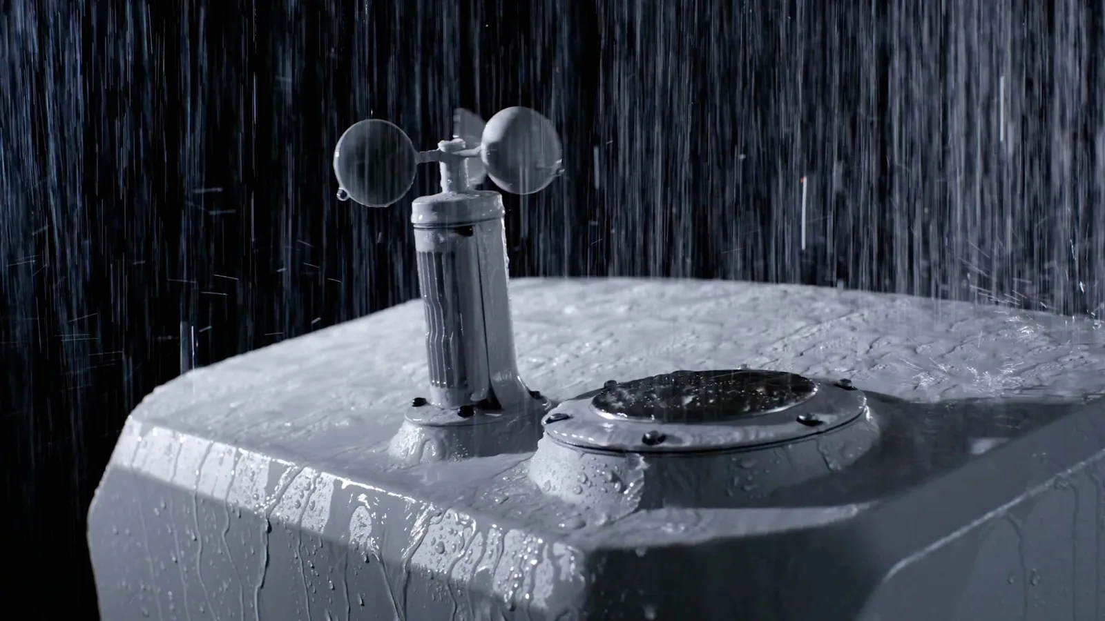
- 03Fly automaticallyBefore every launch, the system checks wind, rain and temperature and holds the flight if conditions aren’t safe. The drone flies its route, captures the data and returns to base. Licensed pilots oversee every mission live from the ROC and can take control at any time.
- 04Process automaticallyPhotos, thermal images, video and models upload automatically after each flight. AI tools flag anomalies and changes and link each finding to its location on a map or 3D model.
- 05Act on resultsYour team receives the data and alerts, and sends crews only where they’re needed.
What the ROC captures
High-resolution imagery
Site overviews and close-up detail on equipment, structures and components
Long-range zoom
Read gauges, check bolts and inspect insulators from a safe distance
Thermal imaging
Find hot spots, failing equipment, leaks and people or vehicles at night
Mapping and 3D models
Orthomosaics, volumes and digital records of your sites
Live video
Real-time eyes on site during incidents and alarms
AI detection
People, vehicles and site changes flagged automatically
Precise locations
Exact coordinates for every finding, so crews know where to go
What automation looks like by industry
Oil and gas
- Daily automated checks of well pads, tanks, separators and flare stacks from the same angles
- Scheduled pipeline corridor patrols that look for encroachment, erosion and leaks
- Thermal checks that confirm flares are lit and spot hot equipment
- Alarm-triggered security flights at remote facilities
Mining
- Scheduled stockpile surveys for consistent volume tracking
- Post-blast surveys without anyone entering the blast zone
- Repeat flights over pit walls and tailings dams to spot changes early
- Automated thermal scans of conveyors and electrical equipment
Utilities and infrastructure
- Recurring thermal scans of substations from fixed inspection points
- Automated patrols along transmission line corridors
- Solar farm thermal surveys on a fixed schedule
- Rapid response after storms and outages
Construction
- Automated progress capture from the same viewpoints every week
- Repeatable mapping for cut-and-fill and stockpile volumes
- 3D models that keep BIM up to date
- After-hours site security patrols
Security
- Scheduled perimeter patrols, day and night
- Alarm-triggered launches with live video to your security team
- AI detection of people and vehicles in restricted areas
- Consistent coverage with no gaps between shifts
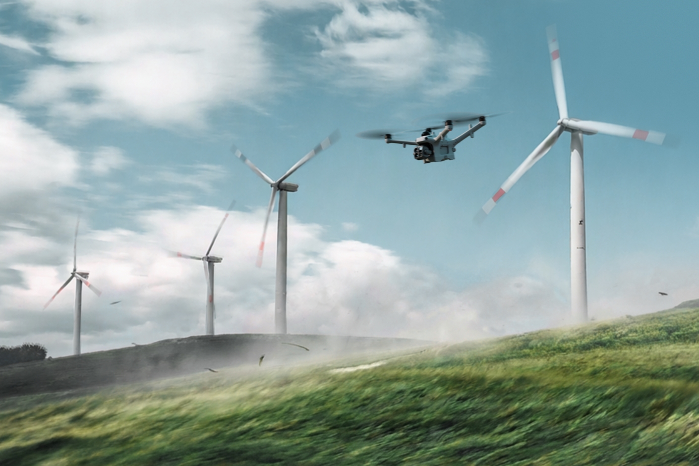
Automation vs manual inspections
| Manual inspections | Automated with the ROC | |
|---|---|---|
| Consistency | Varies by person, day and conditions | Same route, angle and settings every time |
| Frequency | When crews are available | Daily, hourly or on demand |
| Response time | Hours | Minutes |
| Worker exposure | Driving, climbing, hazardous areas | People stay out of the field |
| Night operations | Limited | Thermal and night imaging |
| Data comparison | Hard to compare | Before-and-after comparisons built in |
| Change detection | Manual review | AI flags changes automatically |
| Records | Scattered photos and notes | Time-stamped, geotagged digital records |
| Scalability | More sites need more people | Add sites to your plan |
Safety and control built in
Licensed pilot oversight
Transport Canada–licensed pilots oversee every mission.
Automatic weather holds
Flights don’t launch in unsafe wind, rain or temperatures.
360° obstacle sensing
Drones detect and avoid obstacles, day and night.
Custom geofences
Keep drones clear of restricted areas and energized equipment.
Secure data
Encrypted transmission and secure data storage.
Full audit trail
Flight logs, imagery and chain-of-custody records for every mission.
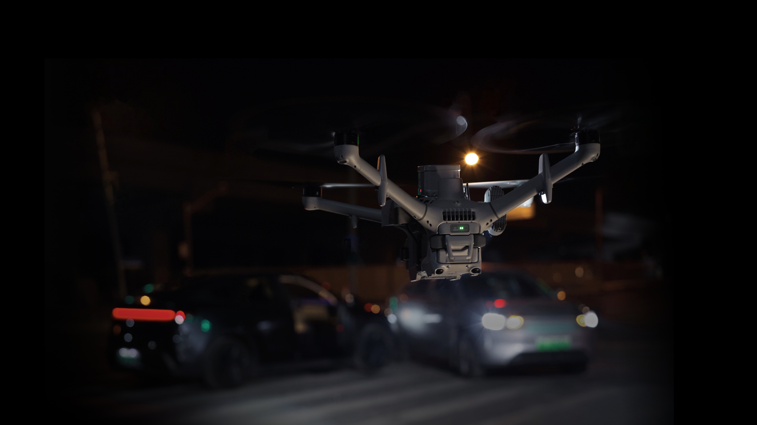
Built for Canadian conditions
- Equipment selected for cold, wind and remote sites
- Weather sensors that hold flights automatically when conditions aren’t safe
- Thermal and night imaging for long winter nights
- Licensed Canadian pilots overseeing every mission
We handle the technology, you get the results
You don’t need to choose hardware, compare specs or keep up with new models. We select and deploy the right equipment for each site and mission, and we upgrade it as technology improves.
| Equipment included | Drones, docks, batteries and accessories |
|---|---|
| Installation included | Site assessment, setup and commissioning |
| Mission design included | Routes and schedules built around your assets |
| Pilots included | Licensed oversight 24/7/365 |
| Maintenance included | Repairs, updates and replacement hardware |
| Data included | Processed imagery, thermal reports, maps, 3D models and AI alerts |
One predictable monthly fee. No fleet to own. Just the job done.
Start with one site
Most clients start with one site and one automated mission, such as a daily facility check, a weekly stockpile survey, a pipeline patrol or night security. Once you see how consistent the data is, adding more routes and sites is simple.
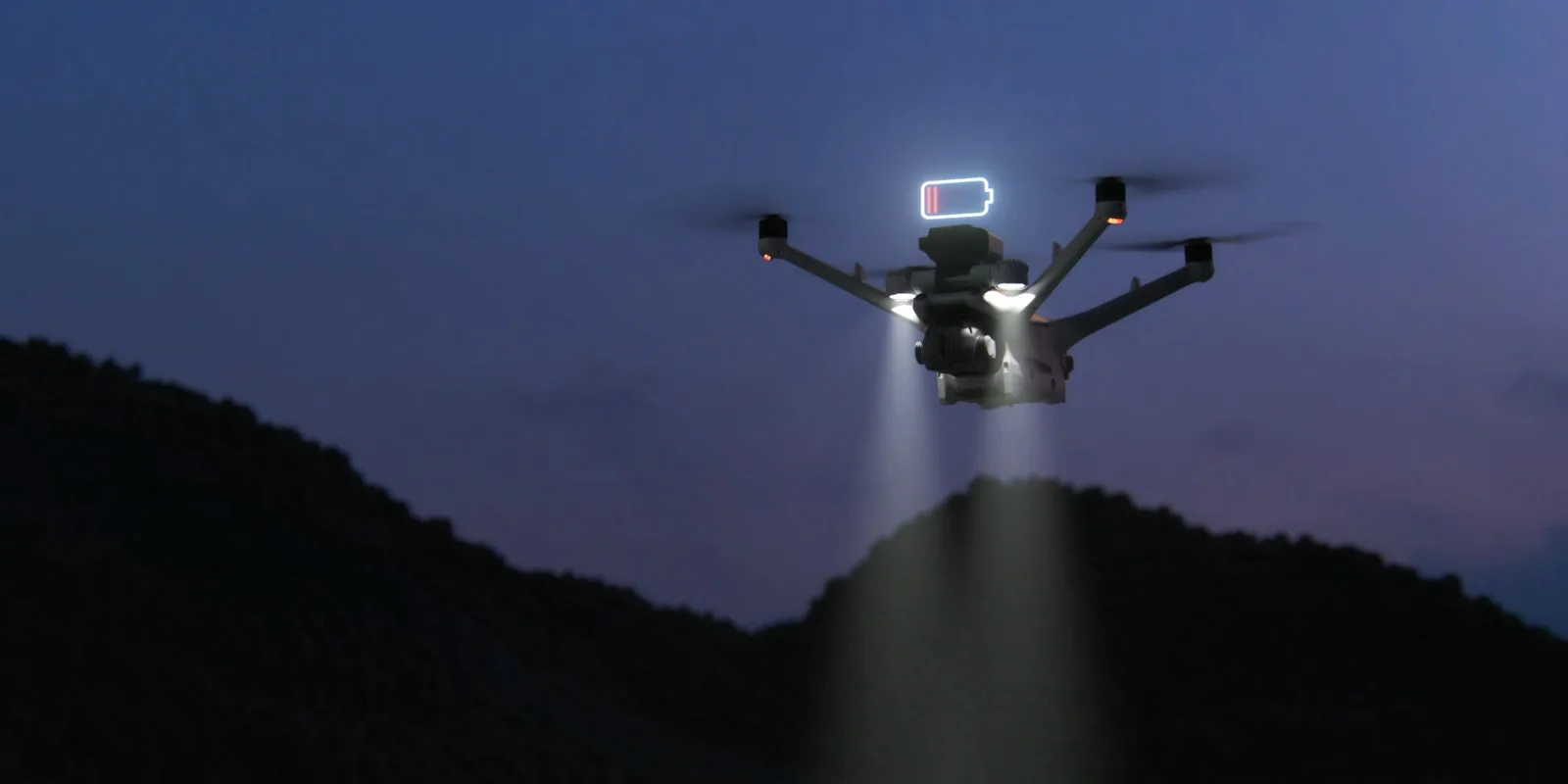
Coverage across Canada
Remote Robotic has service points in Mississauga (HQ), Ottawa, Calgary, Burnaby and Montréal. We operate 24/7/365, and our service levels range from best-effort to guaranteed dispatch.
Frequently asked questions
What does “automated” mean if pilots are still involved?
The drone launches, flies, lands and recharges on its own, following saved routes and schedules. Licensed pilots oversee every mission from the ROC and can take control at any time.
How is automated data more reliable than manual inspections?
The drone flies the same route and captures each target from the same position, angle and zoom every time. That makes changes easy to spot and compare.
Does automation replace our inspection team?
No. It takes the repetitive data collection off their plate, so your team can focus on analysis, decisions and fixing problems.
How quickly can a drone respond to an alarm?
The drone launches automatically when an alarm is triggered and streams live video to your team within minutes.
Can automated missions run at night?
Yes. Thermal and night imaging support 24/7 operations.
Can it run in Canadian winters?
Yes. Our equipment is selected for Canadian conditions, and flights hold automatically when conditions are unsafe.
Which drones do you use?
We select the right equipment for each site and mission, and we upgrade it as technology improves. You get the results without managing the hardware.
Do we need anyone on site?
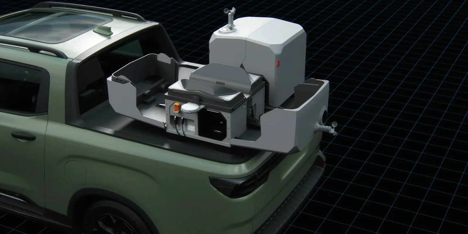
No. You only need power and a network connection at the drone’s base on site.
Get started
Make your inspections repeatable and keep your people out of harm’s way. Book a ROC briefing and we’ll design an automated drone program around your sites, your schedule and the data you need.
Request a briefing at remoterobotic.com/quote or call 416-303-3575.
Shop the story
Related products in our catalog
Every product below is stocked and supported by Remote Robotic in Canada.
- DJI Dock 3
DJI Dock 3
Automated dock for Matrice 4D and Matrice 4TD remote inspection programs.
View product → - DJI Matrice 4D
DJI Matrice 4D
Dock-native M4D — IP55, ~54 min flight, pairs with Dock 3 for autonomous DFR & BVLOS.
View product → - DJI Matrice 4TD
DJI Matrice 4TD
Dock-native thermal M4TD with NIR aux light — night-ops DFR and thermal patrol.
View product →