
Managed Operations
Oil & Gas Security and Remote Site Inspections in Canada | ROC
Solve remote-site security, daily inspection, pipeline visibility and incident-response problems with repeatable imagery from a managed Remote Operations Center.
Remote Robotic · September 29, 2026 · 12 min read
Your security team receives an alarm from a remote facility. A pipeline supervisor needs to know whether a washout has changed. Operations wants a closer look at a flare, tank or pump without sending someone into a hazardous area. These are everyday oil-and-gas problems—and they all start with the same question: what is happening at the site right now?
Remote Robotic's Remote Operations Center (ROC) helps answer that question without requiring your team to own a drone fleet or place a pilot at every site.
Oil and gas problems the ROC helps solve
You do not need to learn how the flights are run. Start with the problem your team needs to solve.
You need eyes on a remote site after hours
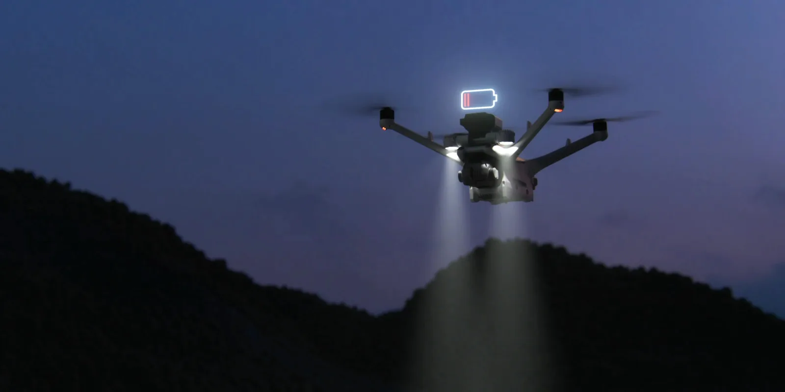
Scheduled perimeter patrols keep watch day and night. When a fence, SCADA or sensor alert is triggered, the Matrice 4TD can be sent overhead to show your team what is happening before anyone drives to site.
What your team can see or receive
- Live visual and thermal video for your control room or HSE team
- People and vehicle detection in areas where they should not be
- Automatic tracking of a person or vehicle when required
- A spotlight and speaker for night response and remote warnings
Routine checks are consuming too much field time
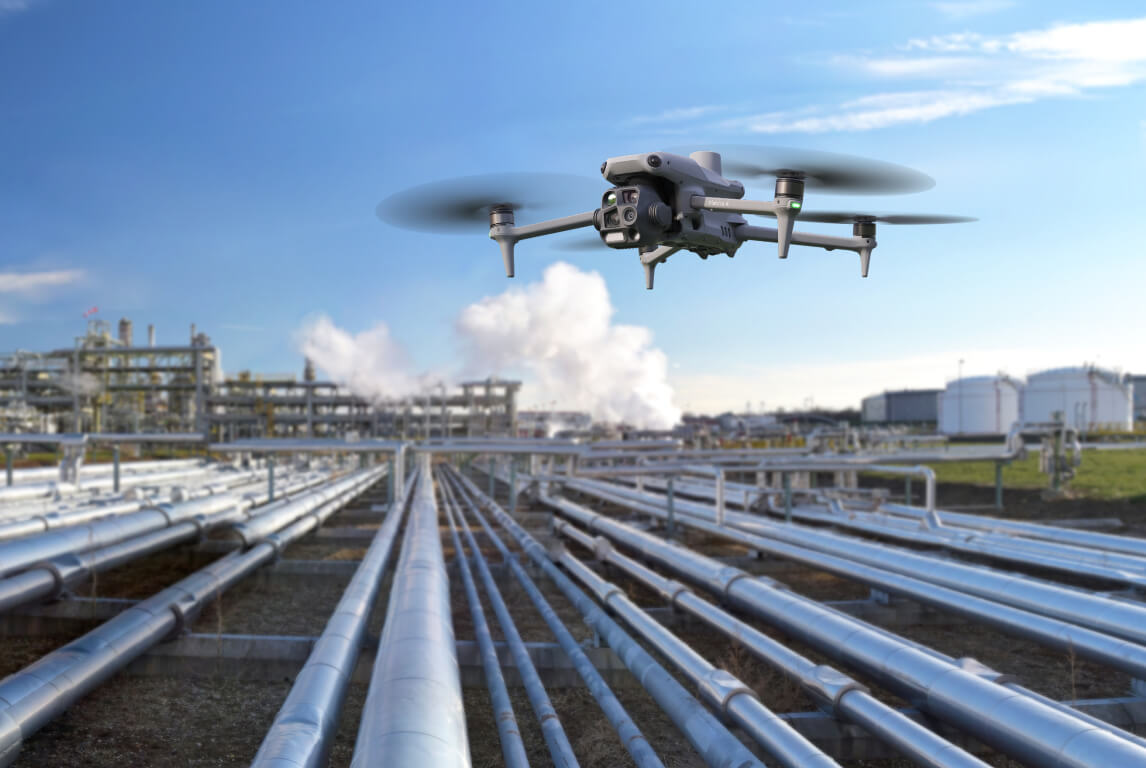
Repeatable rounds provide a current view of well pads, batteries, compressor stations and terminals without sending a truck for every check.
What your team can see or receive
- Zoom views of wellheads, equipment, thief hatches and tanks
- Checks for spills, staining and pooling around equipment
- Thermal views of pump jacks, separators, heaters and rotating equipment
- Consistent site imagery for records and reclamation tracking
A flare, tank or piece of equipment is difficult or hazardous to inspect
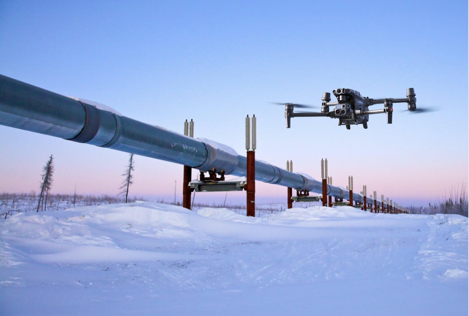
Visual zoom and thermal imaging let your team inspect hot, elevated and hazardous assets from a safer distance, often without a shutdown or climb.
What your team can see or receive
- Close views of flare-tip condition
- Thermal confirmation of flame status
- Checks of tank roofs, seals, berms and thermal fill levels
- Thermal surveys for hot bearings and electrical hot spots
You need to know what changed along a pipeline corridor
The same route can be flown repeatedly along your right-of-way, creating a consistent record that makes changes easier to identify.
What your team can see or receive
- Encroachment and unauthorized excavation
- Erosion, washouts and exposed pipe
- Vegetation die-off, soil staining and temperature anomalies
- Repeat imagery for comparing one patrol with the next
An incident is developing and decisions cannot wait for a site visit
An on-demand flight gives authorized teams a live aerial view, helping them confirm the situation and decide whether a field response is needed.
What your team can see or receive
- A faster view of the affected area
- Live RGB, zoom and thermal video
- Shared information for operations, security and HSE teams
- A clearer basis for dispatching the right people and equipment
You need defensible records for reviews and audits
Repeatable missions produce time-stamped, geotagged imagery and a documented flight record instead of scattered photos from one-off site visits.
What your team can see or receive
- Comparable visual records over time
- Change and anomaly reporting tied to a location
- Flight documentation and chain-of-custody records
- Secure reports and share links for authorized users
Automated daily inspections
Your sites, photographed every day
The ROC does more than fly over a site. It returns to the exact assets and views your team cares about, then delivers current evidence without requiring anyone to be there for the flight.
A true before-and-after record
Each target is recaptured from the same position, angle and zoom. Your team can see whether a stain has spread, a fitting has started weeping, a berm has eroded or equipment has moved since the previous inspection.
Fresh images without waiting for a field report
Photos and video upload after each flight to a secure media library organized by site, date and inspection point. Authorized team members can review them from a laptop, tablet or phone.
Coverage on the schedule the asset needs
Launch immediately on request, at a set time, on a daily or weekly schedule, continuously during critical work, or automatically after a SCADA, gas-detector, fence or AI alert.
A closer view without putting someone beside the asset
Overview, medium-tele and telephoto views can document a whole site, pipe runs, tank roofs, gauges, valve positions, nameplates, flange bolts, corrosion and flare tips from a safer distance.
Thermal warning signs made visible
Radiometric thermal imagery can support temperature-anomaly alerts, flare-status checks, hot-bearing and electrical inspections, thermal tank-level checks, and night searches for people or vehicles.
Changes flagged for review
Repeat imagery, 3D site views and marked areas of interest help identify ground disturbance, erosion, moved material, new equipment or another change that deserves a closer look.
What arrives on your side
The useful output depends on the situation. Your team can receive a live view for an urgent event, a focused inspection record for maintenance, or repeat imagery for tracking change.
| Your need | What the ROC can provide |
|---|---|
| Security event | Live and recorded visual or thermal video, tracked activity and incident context |
| Routine facility round | Zoom inspection imagery, thermal findings and a record of site conditions |
| Pipeline patrol | Geotagged corridor imagery and identified changes or anomalies |
| Spill or environmental event | Mapped extent, current imagery and repeat views for monitoring progress |
| Recurring site review | Orthomosaics, 3D models and consistent imagery for comparison over time |
You bring the problem. We run the program.
Your team identifies the sites, risks and information that matter. Remote Robotic handles the work required to keep the remote aerial program operating.
| Responsibility | What Remote Robotic handles |
|---|---|
| Equipment | We provide and maintain the Dock 3 units, Matrice 4D or 4TD aircraft and accessories. |
| Site setup | We assess the location, then install and commission the dock. |
| Flight operations | Transport Canada–licensed RPAS pilots oversee missions from the ROC. |
| Monitoring | We monitor the fleet around the clock and flights hold automatically when weather is unsafe. |
| Mission setup | We use your site and GIS information to build repeatable routes around the assets you need to see. |
| Data and reporting | We provide the imagery, thermal data, video, maps and reports selected for your program. |
| Compliance and support | We maintain flight records and support the equipment so your team does not have to run a drone department. |
Why this matters to oil and gas teams
- Fewer unnecessary truck rollsConfirm conditions remotely and send a crew when a problem actually needs field attention.
- Less exposureReduce routine travel and time spent near hot, elevated, hazardous or isolated assets.
- Faster awarenessSee a remote site in minutes when an alarm or operational question cannot wait.
- More consistent evidenceUse the same views and routes each time instead of relying on inconsistent field photos.
- No fleet to manageAvoid buying docks and aircraft or building an internal pilot, maintenance and compliance program.
- Coverage that can growBegin with one high-value site and add coverage as the operational case is proven.
The technology, briefly
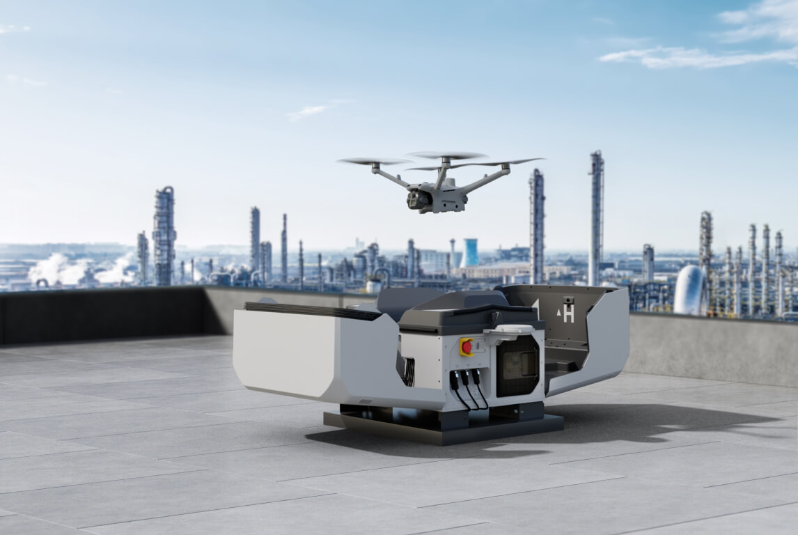
The service uses DJI Dock 3 with a Matrice 4D for detailed visual inspection and mapping, or a Matrice 4TD for thermal, night and security work. The dock stays outdoors, checks local weather, launches the aircraft, and recharges it after landing. Our licensed pilots oversee each flight remotely.
For your team, the important part is simple: ask for a scheduled check, respond to an alert, or review a report—without building an internal drone department.
How the evidence reaches your team
| Function | What it means for your operation |
|---|---|
| Repeatable route | Saved waypoint templates return to the same wellhead, separator, tank, flare tip, pipeline crossing or gate at the selected interval. |
| Consistent capture | At each point, the aircraft flies to the set location and altitude, aims at the selected angle and zoom, captures RGB, thermal, video or panorama imagery, then continues to the next point. |
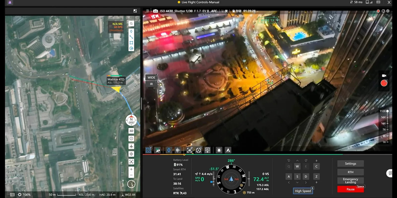
| Live response | Authorized teams can receive HD live video while the remote pilot redirects the camera, zooms in, marks a location, or measures a distance or area on the shared map. |
| Site context | Orthomosaics and 3D models provide a wider facility record, while GIS layers help inspection routes follow the wells, pipelines and facilities your team manages. |
| Monitoring | Object detection, tracking and repeat-flight comparisons can flag people, vehicles, ground disturbance, erosion or other changes for review. |
| Operational controls | Custom flight zones, automatic weather holds and encrypted data transfer help keep each mission within its approved operating plan. |
A practical place to start
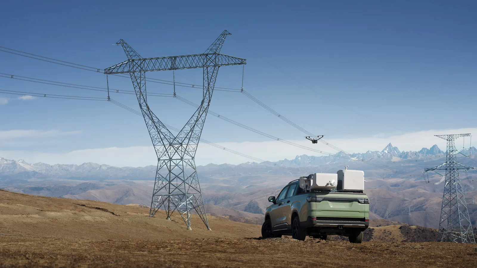
Choose one location where visibility is difficult, truck rolls are frequent, or a security event would benefit from a faster response. That could be a compressor station, battery, terminal, well pad or a priority stretch of pipeline. Define the questions your team needs answered, then use the results to decide where recurring remote coverage creates the most value.
Coverage across Canada
Remote Robotic has service points in Mississauga (HQ), Ottawa, Calgary, Burnaby and Montréal. Our Calgary location puts us close to Western Canada's oil and gas operations. We operate 24/7/365, with service levels ranging from best-effort to guaranteed dispatch so coverage can match the importance of each asset.
Frequently asked questions
Can the ROC respond to a security alarm at a remote oil and gas site?
Yes. A mission can launch from an alarm or on demand, giving authorized teams live visual, zoom and thermal video of the site. The response available at a specific location depends on its approved operating plan and current weather.
Can it reduce routine site visits?
Yes. Scheduled inspections can cover well pads, tanks, flare stacks, equipment and pipeline corridors. Your team can review the results and send field crews when an issue needs hands-on attention.
Do you need staff at the site for each flight?
No. The dock launches, lands and recharges the drone automatically, while our licensed pilots oversee the mission from the ROC. The dock requires power and a network connection.
Can it operate in Canadian winters?
Dock 3 operates down to –30°C and heats itself automatically. Flights hold when wind, rain or temperature moves outside safe operating limits.
Can the drone detect methane?
Not directly. The Matrice 4TD can identify temperature anomalies, liquid leaks and flare outages, but it cannot see methane gas. Ask our team about dedicated gas-detection options for methane surveys.
Who can see the data?
Live video, imagery and reports are shared only with the people you authorize through secure links and reports.
Start with your problem
Show us the site you need to see
Tell our operations team where you need better visibility—security, routine inspections, pipeline patrols or incident response. We'll outline a ROC program around that operational need.
Learn more about the Remote Operations Center.
Shop the story
Related products in our catalog
Every product below is stocked and supported by Remote Robotic in Canada.
- DJI Matrice 4TD
DJI Matrice 4TD
Dock-native thermal M4TD with NIR aux light — night-ops DFR and thermal patrol.
View product → - DJI Matrice 4D
DJI Matrice 4D
Dock-native M4D — IP55, ~54 min flight, pairs with Dock 3 for autonomous DFR & BVLOS.
View product → - DJI FlightHub 2 AIO
DJI FlightHub 2 AIO
Pre-installed on-premises appliance — up to 20 aircraft/docks, data stays on your network. CAD $22,285.
View product →