
Managed Mining Operations
Remote Operations Center (ROC) for Mining in Canada
How Canadian mining teams get automated stockpile, post-blast, slope, tailings, thermal and safety data without owning or operating a drone fleet.
Remote Robotic · October 2, 2026 · 13 min read
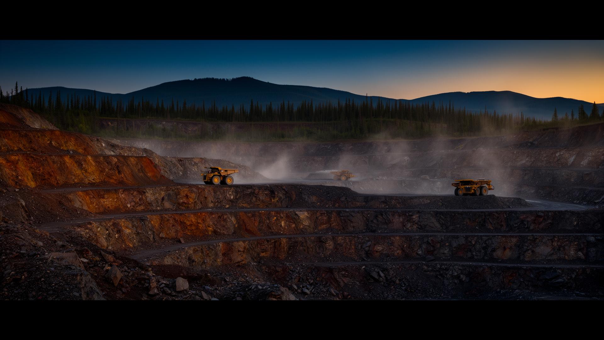
Open pits span kilometres. Stockpiles change every shift. Tailings facilities, haul roads, conveyors and surface infrastructure need frequent attention—often far from the nearest town and in difficult weather.
The challenge is not proving the value of aerial data. It is collecting it often enough. Remote Robotic's Remote Operations Center puts automated drone docks on the mine site, runs every mission remotely, and delivers the data without requiring the mine to own or operate a fleet.
Mining problems the ROC helps resolve
Start with the operational question, not the aircraft. The ROC can run repeatable missions around the data each team needs.
Stockpile figures are already old
Scheduled flights over ROM pads, product stockpiles and waste dumps produce consistent orthomosaics, 3D models and volume calculations for inventory, reconciliation and month-end reporting.
Post-blast work is holding up production
Once the blast area is cleared for flight, the drone can document fragmentation, muckpile shape and movement, check for visible hazards with zoom, and create a 3D model without putting a surveyor in the blast zone.
Pit walls change between inspections
Repeat oblique flights capture highwalls, benches and ramps from the same angles. The resulting record supports design checks and flags surface changes for geotechnical review.
Tailings need a more consistent record
Daily or weekly routes along crests, faces and toes create time-stamped imagery, thermal views and repeat mapping for dam-safety and environmental records.
Conveyors and infrastructure need closer attention
Thermal and zoom routes check idlers, pulleys, motors, gearboxes, electrical rooms, crushers, transfer points, structures and pipe racks from safer positions.
Morning conditions are difficult to confirm
Repeat site overviews can show haul-road blockages, potholes, washouts, spillage, drainage, ponding, equipment locations and overnight changes before crews are dispatched.
Security or emergency decisions cannot wait
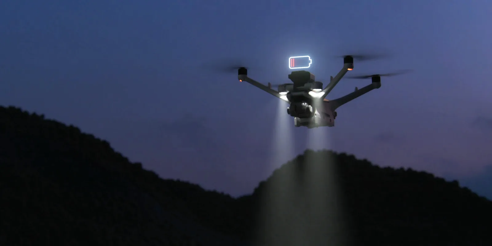
The Matrice 4TD can run day or night perimeter patrols, flag people and vehicles in restricted areas, track activity, and stream live video to the response team.
Environmental changes need defensible evidence
Recurring orthomosaics document disturbed and reclaimed areas, vegetation, erosion, sediment controls and conditions after storms or freshet.
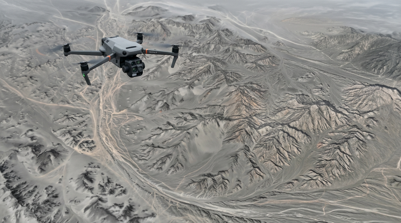
Your mine, photographed every day
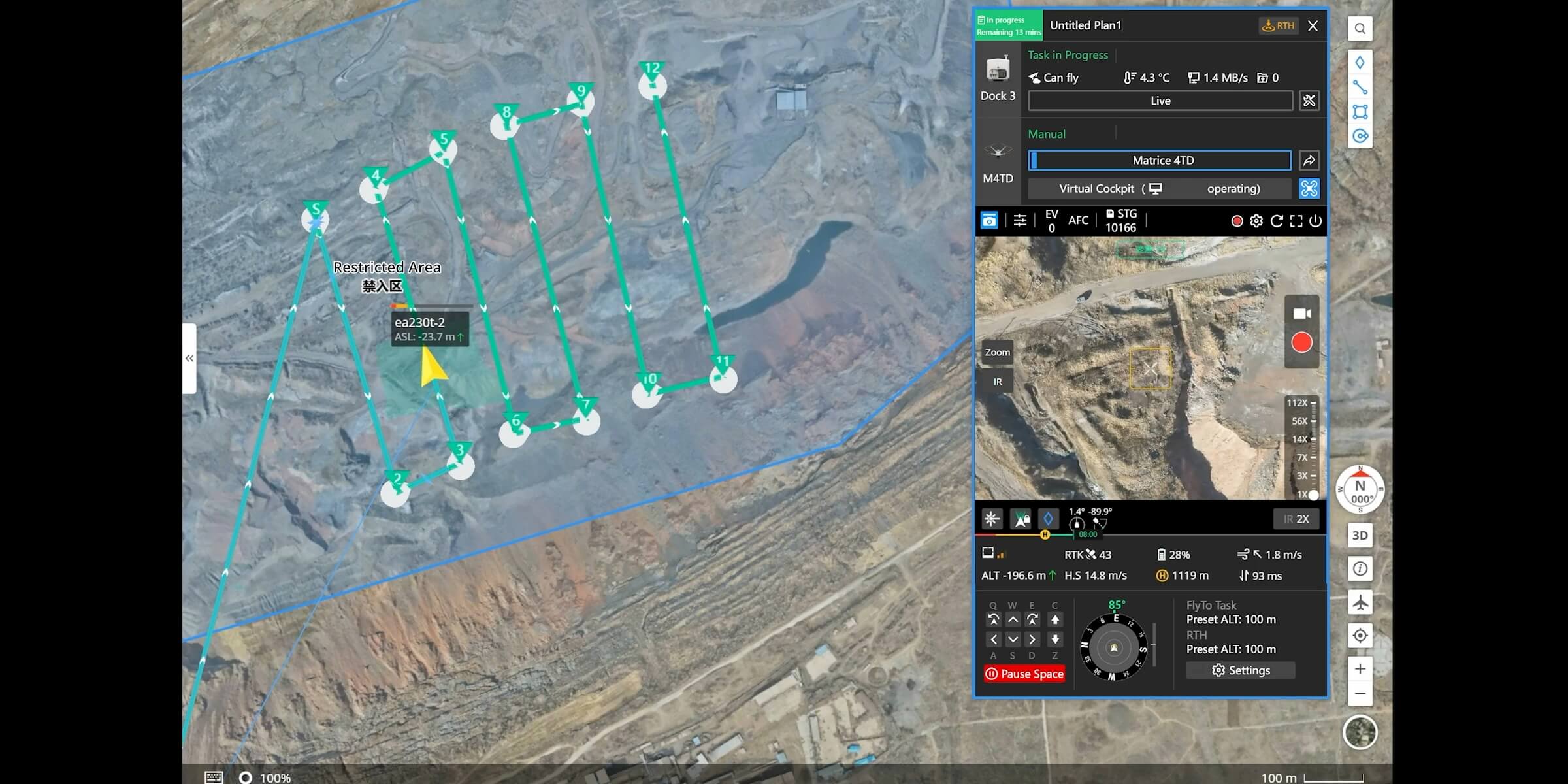
Waypoint routes are built around critical assets such as a pit-wall section, tailings abutment, conveyor transfer point or stockpile. At each point, the aircraft returns to the selected location and altitude, aims at the set angle and zoom, captures RGB, thermal, video or panorama imagery, then moves to the next point.
Same angle, every time
Accurate Photo recaptures each target from the same position, angle and zoom so teams can see whether a crack, seep or material position has changed.
AI spot-checks
Areas marked on the site’s 3D model are captured and compared on future flights, with changes flagged for review.
Daily delivery
Photos, video and models upload to a secure library organized by area, date and inspection point.
Mission timing
| Schedule | Mining example |
|---|---|
| Immediate | Launch on request when a current view is needed. |
| Timed | A 6:00 a.m. pit overview before the shift meeting. |
| Recurring | Daily stockpile surveys, weekly tailings flights or monthly site-wide mapping. |
| Continuous | Back-to-back missions during critical work or incidents. |
| Alarm-triggered | Launch from a geotechnical, fire, security or AI alert. |
What arrives on your side
| Team need | ROC deliverable |
|---|---|
| Survey and inventory | Orthomosaics, 3D pit and stockpile models, volume reports and model comparisons over time. |
| Geotechnical review | Repeat oblique imagery of pit walls, benches and tailings facilities, organized for comparison. |
| Maintenance | Radiometric thermal images, zoom inspection photos and video organized by inspection point. |
| Operations and safety | Live HD video, panoramic site overviews, map annotations, target coordinates and incident records. |
| Existing workflows | Data formats that work with the mine-planning and survey software already used by the operation. |
Live control and collaboration
Authorized teams can receive HD video from the aircraft and dock through a secure link. ROC pilots can redirect the camera and zoom in, add pins, lines and areas to the shared map, measure distances and areas, or use the laser rangefinder to locate a target up to 1,800 metres away.
The platform behind the service
The equipment is important because it determines what can be captured, but Remote Robotic owns, maintains and operates the system. The mine receives the selected evidence rather than another fleet to manage.
| Platform | Supplied capability |
|---|---|
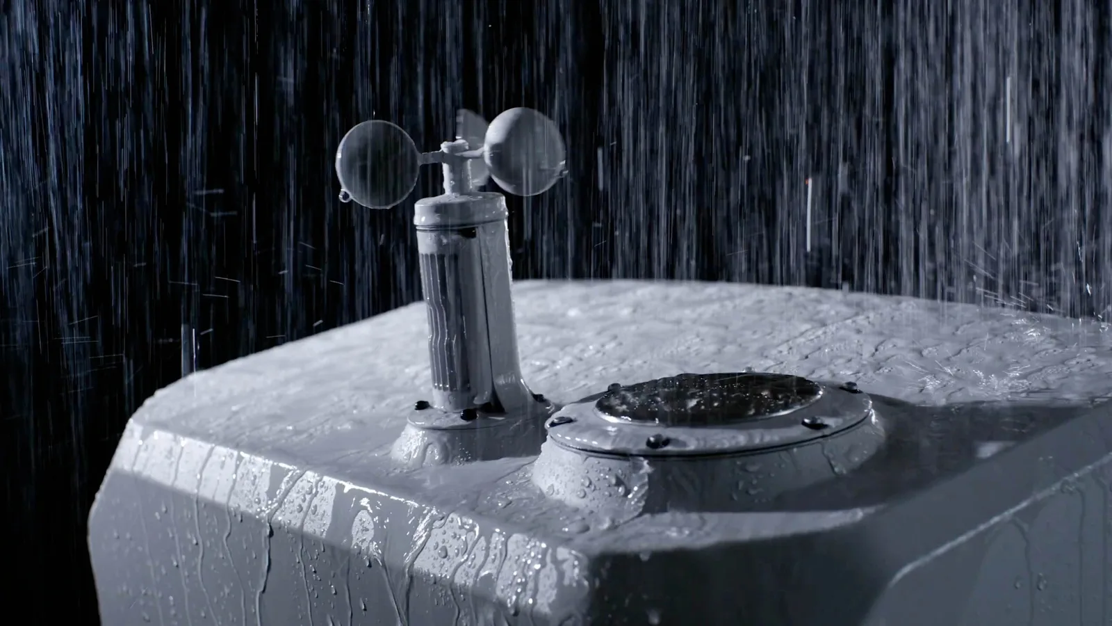
| DJI Dock 3 | IP56; –30°C to 50°C; built-in wind, rain and temperature sensing; about 10-second launch; 15% to 95% recharge in about 27 minutes; up to 10 km operating radius; more than 4 hours of backup power; fixed or vehicle-mounted; Ethernet or 4G. |
| Matrice 4D | 20MP Matrice 4D with a 4/3-inch mechanical-shutter wide camera, 0.5-second photo interval, five-direction oblique capture, 70 mm and 168 mm tele cameras, and a laser rangefinder up to 1,800 m. |
| Matrice 4TD | Matrice 4TD with 640×512 radiometric thermal from –40°C to 500°C, 48MP wide and tele cameras, NIR auxiliary light, Night Scene Mode, and a laser rangefinder up to 1,800 m. |
| Both aircraft | Up to 54 minutes of flight, IP55 protection, anti-ice propellers, and rotating LiDAR plus millimetre-wave radar for day-and-night obstacle sensing. |
Safety and control built in
| Control | How it applies |
|---|---|
| Custom geofences | Keep the aircraft clear of active blast zones, crusher areas and other restricted locations. |
| Automatic weather holds | Prevent launch in unsafe wind, rain or cold. |
| Obstacle sensing | Rotating LiDAR and radar provide 360° sensing during day and night operations. |
| Secure data | Encrypted transmission through an ISO 27001 and ISO 27701 certified platform. |
What the ROC program includes
| Included | Remote Robotic responsibility |
|---|---|
| Hardware | Remote Robotic owns and maintains the Dock 3 units, Matrice 4D or 4TD aircraft and accessories. |
| Pilots | Transport Canada–licensed RPAS pilots oversee every mission from the ROC. |
| Operations | 24/7 monitoring, automatic weather holds and mission planning around the mine plan and site layout. |
| Data | Orthomosaics, 3D models, volumes, thermal imagery and inspection photos selected for the program. |
| Reporting | Change and anomaly detection with automatic notifications. |
| Compliance and support | Flight documentation, chain-of-custody records and OEM-tier hardware support. |
Why mining teams choose the ROC
- No capital outlayThe mine does not buy docks, aircraft or batteries.
- No pilot hiring or trainingLicensed remote pilots are included.
- Safer collectionFewer people need to work at crests, in blast zones or on stockpiles.
- Faster decisionsVolumes, models and inspection imagery can reach teams within hours rather than days.
- Consistent evidenceThe same flight paths, viewpoints and capture settings are used each time.
- Year-round, scalable coverageThe platform is built for Canadian winters and can grow from one use case to multiple sites.
Start small, then scale
Most mining programs can begin with one high-value use case: daily stockpile volumes, post-blast surveys or tailings monitoring. More missions and docks can be added after the team has reviewed the data, using the same procedures and reporting at each site.
Coverage across Canada
Remote Robotic has service points in Mississauga (HQ), Ottawa, Calgary, Burnaby and Montréal, close to mining operations in Ontario, Quebec, British Columbia and the Prairies. The ROC operates 24/7/365, with service levels from best-effort to guaranteed dispatch.
Frequently asked questions
How accurate are the stockpile volumes?
The Matrice 4D’s mechanical-shutter camera, together with RTK positioning, supports survey-grade mapping without ground control points. Remote Robotic confirms accuracy against the mine’s survey control during setup.
Can the ROC replace slope-monitoring radar?
No. Drone imagery and change detection add more frequent visual coverage and 3D models, but they do not replace radar or prism monitoring.
Can DJI Dock 3 fly in a Canadian winter?
Yes. Dock 3 operates down to –30°C and heats itself automatically, while the aircraft use anti-ice propellers. Flights hold automatically in high wind, heavy precipitation or extreme cold.
Does Dock 3 work underground?
No. Dock 3 is for surface operations such as open pits, stockpiles, tailings and surface infrastructure.
Does the ROC provide LiDAR data?
No. Mapping uses high-resolution photogrammetry. The LiDAR on the aircraft is used only for obstacle sensing.
Do mine staff need to be on site for every flight?
No. The dock needs power and a network connection. Remote Robotic’s pilots oversee every mission from the ROC.
Build around your mine
Request a ROC briefing
Tell our operations team about your site, schedule and required data. We'll build a program around the mine.
Explore the Remote Operations Center or read the DJI Dock 3 mining guide.
Shop the story
Related products in our catalog
Every product below is stocked and supported by Remote Robotic in Canada.
- DJI Matrice 4D
DJI Matrice 4D
Dock-native M4D — IP55, ~54 min flight, pairs with Dock 3 for autonomous DFR & BVLOS.
View product → - DJI Matrice 4TD
DJI Matrice 4TD
Dock-native thermal M4TD with NIR aux light — night-ops DFR and thermal patrol.
View product → - DJI FlightHub 2 AIO
DJI FlightHub 2 AIO
Pre-installed on-premises appliance — up to 20 aircraft/docks, data stays on your network. CAD $22,285.
View product →