
Technology partner // Canada
AIRINS in Canada
UAV methane 3D screening and quantification for Canadian pipelines and facilities.
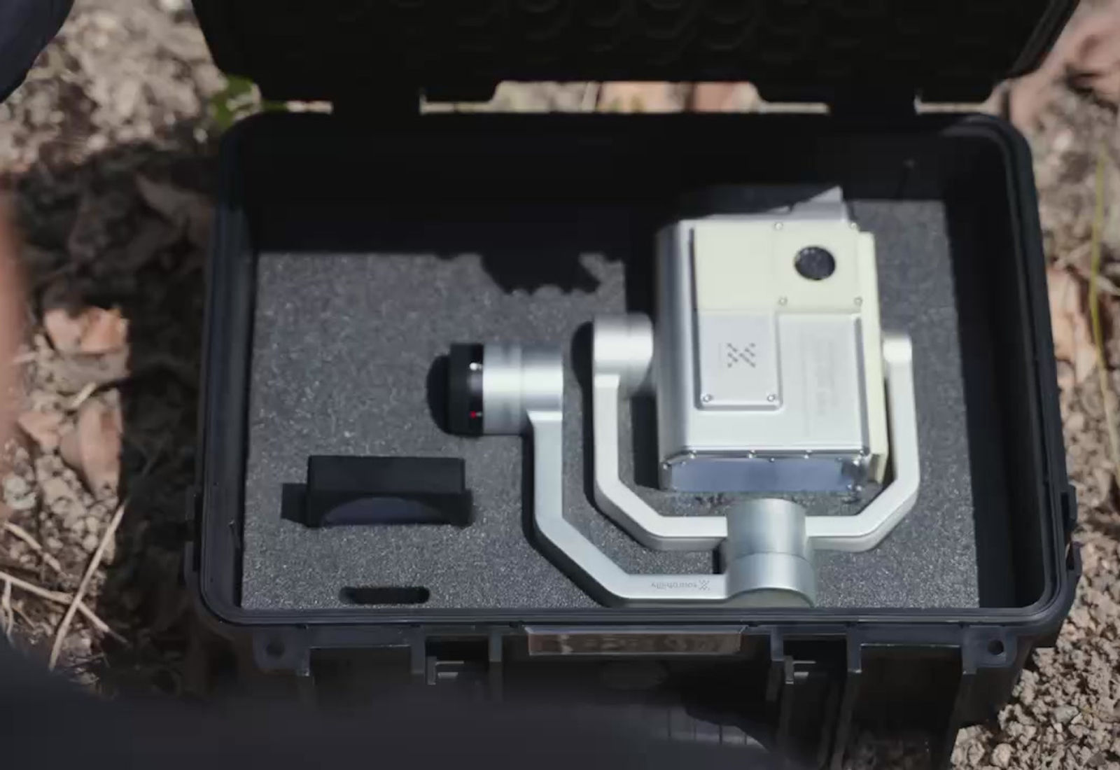
MetScan hardware // AIRINS.ai software
From airborne signal to follow-up action
A repeatable screening workflow for teams that need to cover difficult terrain, prioritize suspected sources, and hand field crews a clear record of what to inspect next.
Overview
AIRINS.ai for Canadian operators
Remote Robotic brings MetScan hardware and AIRINS.ai software to Canadian energy and industrial teams that need rapid, repeatable methane screening from the air. The system combines diffuse-reflection OP-TDLAS sensing, synchronized imaging, and geo-referenced analysis in one workflow.
Use Belt Scan for long, linear pipeline assets or Sector Scan for facility fencelines and distributed sources. AIRINS.ai turns each mission into a visual 2D/3D screening record, ranks suspected hotspots, and supports follow-up with coordinates, imagery, ppm·m levels, and confidence information.
The platform supports LDAR-style screening and data-governance workflows referenced by the EU Methane Regulation and can support OGMP 2.0 workflows as a preliminary step before site-level top-down quantification. Emission-rate estimates such as kg/h are available only in qualifying collaborative workflows and are not a default function of every deployment.
Platforms we supply
- MetScan
- AIRINS.ai
- DJI Matrice 350 RTK
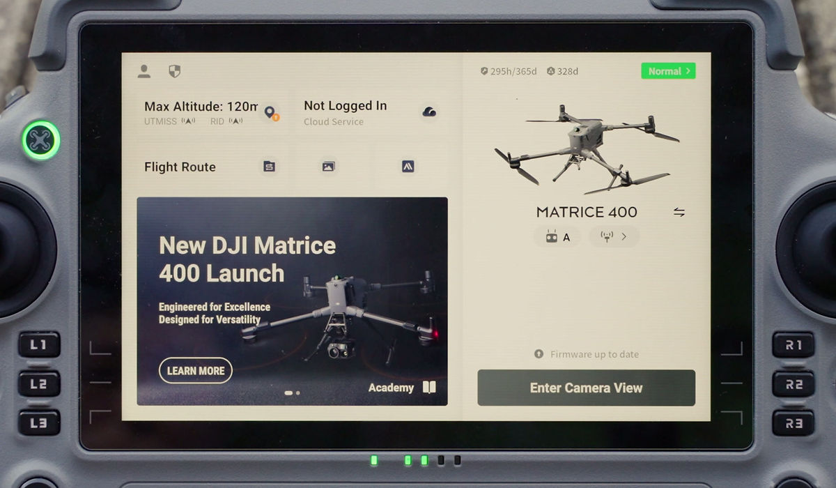
- DJI Matrice 400
Catalog
AIRINS.ai hardware
Catalog loading or quote-only — contact our team for current AIRINS.ai availability in Canada.
One mission, four usable outputs
Screen. Visualize. Prioritize. Follow up.
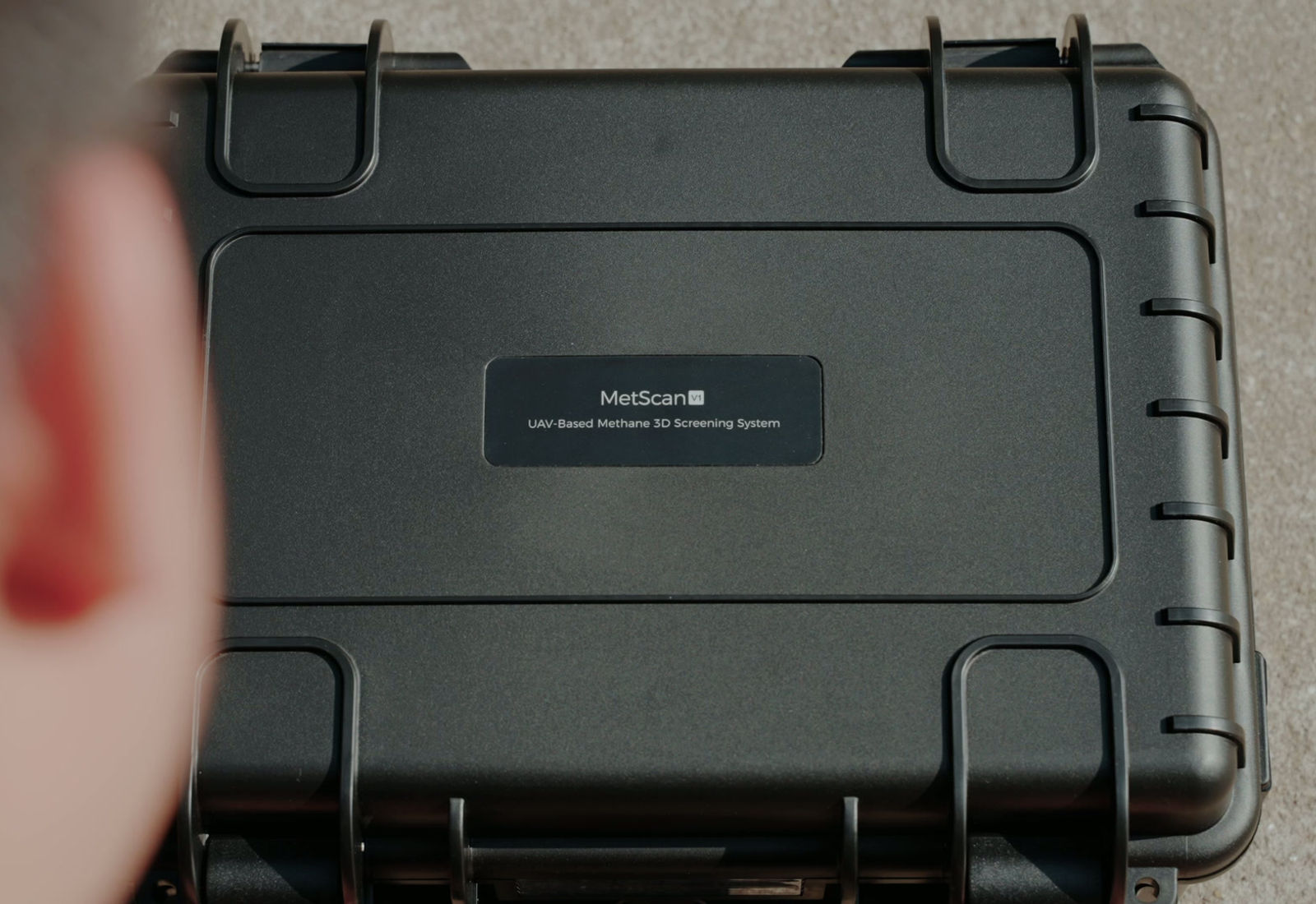
MetScan streams dense methane measurements while AIRINS.ai keeps the mission history, location, visual context, and suspected hotspots together for review and reporting.
Technical profile
Built for dense, traceable screening data
| Sensing method | Diffuse-reflection OP-TDLAS |
|---|---|
| Data output | Up to 50 Hz |
| Optical source | Class 3R laser |
| Onboard compute | 8-core CPU, up to 6 TOPS |
| Stabilization | Ultra-stable 3-axis gimbal |
| Imaging | Synchronized telephoto and wide-angle video |
| Primary UAV integration | DJI Matrice 350 / 400 via SkyPort and DJI Payload SDK |
| GIS-ready exports | CSV, GeoJSON, Shapefile, and mission animations |
Specifications and capabilities are based on manufacturer-published information and should be confirmed during project scoping. Class 3R laser safety procedures apply.
Served industries
Where AIRINS.ai is deployed
- Oil & Gas
- Energy & Utilities
- Pipeline Operations
- Industrial Facilities
FAQ
AIRINS.ai in Canada — quick answers
What is MetScan used for?
MetScan is an airborne methane screening payload for pipelines, pads, stations, plants, and other facilities. It collects geo-referenced measurements and synchronized visual context so teams can prioritize suspected leaks for follow-up.
What is the difference between Belt Scan and Sector Scan?
Belt Scan follows a defined route or waypoint path and sweeps a wider corridor around it, making it suited to pipelines and permitted overflight. Sector Scan runs an automated sweep from a facility fenceline when the UAV cannot enter the site. Where overflight is allowed, Belt Scan can provide higher-quality data by directing the laser closer to perpendicular to the target area.
Does MetScan work with DJI Matrice aircraft?
Yes. MetScan integrates with DJI Matrice 350 and Matrice 400 through the DJI Payload SDK and SkyPort gimbal, with operation in the DJI Pilot App. A platform-agnostic integration kit is also available for non-DJI UAVs.
What reports and data can AIRINS.ai produce?
AIRINS.ai can generate a structured report with coverage, methods and QA/QC, suspected hotspot details, limitations, glossary, coordinates, imagery, ppm·m levels, and SNR-based confidence. Reports can be exported as PDF or editable DOCX, with GIS-ready CSV, GeoJSON, Shapefile, and animation exports also supported.
Can MetScan quantify methane emissions in kg/h?
AIRINS.ai can support offline, trial methane-quantification workflows in collaboration with the AIRINS team. Emission-rate estimates are not included as a default functionality in every deployment and should be confirmed during scoping.
What safety consideration applies to the MetScan laser?
MetScan uses a Class 3R laser. Direct eye exposure should be avoided, and each deployment must follow the manufacturer’s safety instructions and the operator’s site procedures.
Scope a MetScan methane screening program
Tell us about your pipeline, facility, UAV platform, and reporting requirements. We will help scope the right integration.