
Survey & Mapping
One House, Five Sensors: What Actually Happened When We Compared Drone LiDAR, Photogrammetry, SLAM, and an iPhone
Spec sheets will tell you what a sensor is capable of under ideal conditions. They won't tell you what actually happens when you point five different tools at the same real building. In a hands-on ROAR West workshop, professional surveyor and geodetic engineer Rami Tamimi, founder of The Survey School, shared exactly that comparison from a real survey of a house in Hocking Hills, Ohio: a drone with a LiDAR sensor, a drone shooting photogrammetry, a handheld SLAM RTK scanner, an iPhone, and a total station with GPS for control.
Remote Robotic · October 23, 2026 · 4 min read
Watch the ROAR West workshop
Watch on YouTube ↗Spec sheets will tell you what a sensor is capable of under ideal conditions. They won't tell you what actually happens when you point five different tools at the same real building. In a hands-on ROAR West workshop, professional surveyor and geodetic engineer Rami Tamimi, founder of The Survey School, shared exactly that comparison from a real survey of a house in Hocking Hills, Ohio: a drone with a LiDAR sensor, a drone shooting photogrammetry, a handheld SLAM RTK scanner, an iPhone, and a total station with GPS for control.
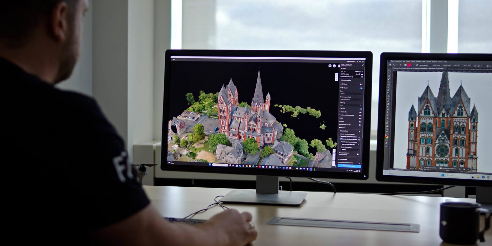
The drone photogrammetry flight followed standard practice closely: a quick low-resolution "recon" flight first to model the terrain, so the real mapping flight could follow the ground's contour and maintain a consistent ground sampling distance , flown at 100m altitude, 15 m/s, with 80% image overlap for a 2cm GSD. The results were clean and accurately referenced to the project's control network — but incomplete. "I want you to notice how there's gaps everywhere," Tamimi said , pointing to the dense tree cover that a camera-based system simply can't see through. "This is a very heavily wooded area... accuracy-wise we've adjusted everything... but there's a lot of gaps here."
The drone LiDAR flight, covering the same area, filled in exactly what photogrammetry missed: data underneath the tree canopy, including features like power lines the camera never captured. Once non-ground points were classified and removed, the LiDAR dataset produced a usable bare-earth terrain model — something Tamimi noted "would have taken me months to do conventionally" using traditional ground-based methods, now enabling drainage and elevation analysis directly from the point cloud.
The handheld SLAM scanner told a more complicated story. Outside, it performed well, intermittently picking up RTK corrections between SLAM-tracking sessions to maintain a usable, if occasionally gap-filled, point cloud. Indoors, it failed outright — not because the SLAM algorithm itself broke down, but because the unit's software didn't support independent geo-referencing. For Tamimi, that was disqualifying regardless of the scan quality: "I need geo-referencing with everything that I do. I'm not going to go through the process of establishing control if I can't use it." It's a pointed lesson for anyone evaluating handheld scanning hardware: confirm it can accept and reference independent control before buying, not after.
The genuine surprise of the comparison was the iPhone. Running the same photogrammetry-style processing software used for the drone data, the iPhone scan was successfully geo-referenced to the same control network used throughout the house — and came out more accurate than the drone photogrammetry point cloud. No single sensor in this comparison was unconditionally "best." Each one won in a specific context: LiDAR for vegetation penetration, photogrammetry for open, well-lit areas, the iPhone for tight interior spaces, and the SLAM scanner for quick exterior capture where geo-referencing wasn't critical. The real finding isn't which tool to buy — it's that matching the tool to the specific environment, rather than defaulting to whatever's already in the truck, is what actually determines whether a survey comes back complete.
Survey & mapping solutions · DJI drones for survey & mapping in Canada
Shop the story
Related products in our catalog
Every product below is stocked and supported by Remote Robotic in Canada.
- DJI Matrice 4E
DJI Matrice 4E
Compact mapping-first M4 Series with wide + medium-tele + tele cameras and laser rangefinder.
View product → - D-RTK 3 Multifunctional Station
D-RTK 3 Multifunctional Station
Cm-level GNSS base / rover / relay — foundation of any M400 survey workflow.
View product → - DJI Terra
DJI Terra
Desktop mission planning + LiDAR / photogrammetry post-processing suite.
View product →