
Survey & Mapping
Why Every Survey Error Flows Downhill — Understanding the Control Hierarchy
When a survey goes wrong, the instinct is to look at whatever tool produced the bad number — the drone, the GNSS receiver, the processing software. Professional surveyor and geodetic engineer Rami Tamimi, founder of The Survey School, argues that's usually the wrong place to look. In a hands-on ROAR West workshop, he laid out a hierarchy of control that explains why errors almost always trace back to something higher up the chain, not the sensor that happened to be collecting data at the time.
Remote Robotic · October 23, 2026 · 4 min read
Watch the ROAR West workshop
Watch on YouTube ↗When a survey goes wrong, the instinct is to look at whatever tool produced the bad number — the drone, the GNSS receiver, the processing software. Professional surveyor and geodetic engineer Rami Tamimi, founder of The Survey School, argues that's usually the wrong place to look. In a hands-on ROAR West workshop, he laid out a hierarchy of control that explains why errors almost always trace back to something higher up the chain, not the sensor that happened to be collecting data at the time.
"Think of control like a tree," Tamimi said. At the top sits national or provincial control — the reference points a government body establishes and maintains. "This is like the Bible, right? Don't touch it. This is exactly what we want to reference our data to." Below that comes high-accuracy instrument control: total stations, levels, equipment the surveying world treats as best-in-class. Below that, GNSS — still trustworthy, still good enough to use for control, but a step down in raw precision. At the bottom sits the actual data collection: drone mapping, terrestrial scanning, whatever sensor is doing the day-to-day work.
The reason this ordering matters isn't academic. "You're basically working downwards. An error flows downwards," Tamimi explained. "If there's error at the top, there's going to be error at the bottom." A mistake in a low-level sensor reading is usually contained and fixable. A mistake in the reference frame at the top of the hierarchy propagates into everything measured against it. "If from up here I use the wrong reference frame, then guess what? I messed up the whole entire data collection process."
Tamimi's own case study shows the hierarchy in action, including a deliberate workaround for one of its limits. For the Hocking Hills house survey, his team started with a local coordinate system — a total station inside the house, referencing a point outside with a roughly-estimated azimuth, good enough to avoid wildly misaligned data but not meant to be perfect on its own. Because GNSS doesn't work indoors (no satellite visibility) , the team used the total station to establish control throughout the house, then tied that local system to an actual GNSS-based state plane coordinate system once they moved outside — effectively climbing back up the hierarchy to anchor their work to something any other surveyor could independently retrace.
The practical discipline this suggests for anyone managing drone or GNSS survey data: when something looks wrong, check the top of the chain before the bottom. A sensor producing noisy or inconsistent data is usually the easiest problem to diagnose and the cheapest to fix. A reference frame, a base station, or a control network that was wrong from the start is a problem that looks like it's everywhere, because it is — and no amount of re-flying the same bad reference point will fix it.
Survey & mapping solutions · DJI drones for survey & mapping in Canada
Shop the story
Related products in our catalog
Every product below is stocked and supported by Remote Robotic in Canada.
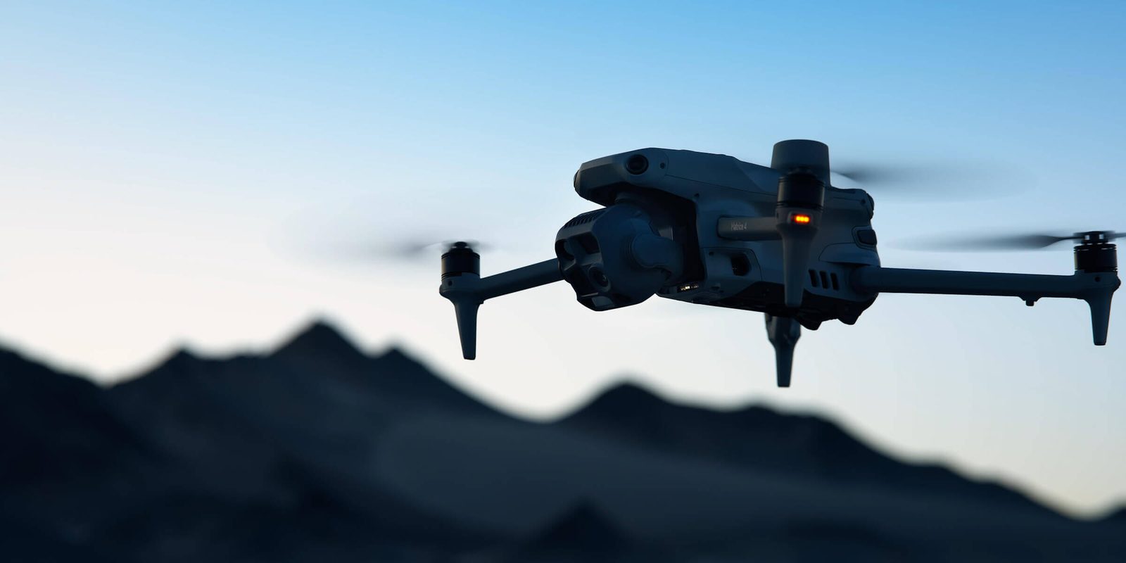
- DJI Matrice 4E
DJI Matrice 4E
Compact mapping-first M4 Series with wide + medium-tele + tele cameras and laser rangefinder.
View product → - D-RTK 3 Multifunctional Station
D-RTK 3 Multifunctional Station
Cm-level GNSS base / rover / relay — foundation of any M400 survey workflow.
View product → - DJI Terra
DJI Terra
Desktop mission planning + LiDAR / photogrammetry post-processing suite.
View product →