
Survey & Mapping
When Mapping Becomes Surveying
Every mapping provider eventually bumps into the same question: at what point does this stop being mapping and start being surveying? In a hands-on ROAR West workshop, professional surveyor and geodetic engineer Rami Tamimi, founder of The Survey School, explained why the line matters — it determines what you can legally deliver, and to whom — and how to write an honest accuracy statement for everything you hand over.
Remote Robotic · October 23, 2026 · 4 min read
Watch the ROAR West workshop
Watch on YouTube ↗Every mapping provider eventually bumps into the same question: at what point does this stop being mapping and start being surveying? Rami Tamimi's answer is direct — and it matters because the line determines what you can legally deliver, and to whom.
What's trainable — no license required
Running equipment is open to anyone. "No one is going to stop you from running a GPS or a total station... anybody can run the equipment." Learning to fly a drone and process the resulting data is the same — open, learnable, and something Tamimi actively encourages people to practice, paid work or not. Checking your results against control, even control someone else hands you, is a legitimate way to build skill and confidence in your own workflow.
What crosses the line
On the other side of that line: splitting lots, defining boundaries and legal descriptions of property, stamping any deliverable, and establishing a control network for a project where design work will be done off of it. "You're not splitting up lots, right? You're definitely not gonna be able to do that. You're not going to be able to define boundary and legal descriptions of property. You're not able to stamp anything."
Setting up a control network is a gray area with one practical rule of thumb: internal to your own company's project, you're generally fine. Once that control network is going to support an external construction project with design work riding on it, get a licensed surveyor involved.
Where you live sets the specific rules — they vary by province and by state — but the general signal is consistent: anything headed to a government body, a regulator, or a court almost always needs a licensed surveyor's signature. When in doubt, Tamimi's advice is simple: find a surveyor willing to consult and sign off, and build that relationship rather than guessing.
Why people actually need boundary surveys
Boundary disputes come up more often than people expect, and rarely for the reason you'd guess. Tamimi listed the common triggers: a long-term land lease coming up for renewal, a municipality running a pipeline or road project that touches a property line, a homeowner needing setback information before building an addition or a shed, and encroachment disputes where a neighbor has built or planted something over the line.
That last case often starts with GIS parcel maps and satellite imagery — both of which Tamimi is quick to point out are not accurate enough to settle anything. A licensed survey is what actually resolves it. Even then, a surveyor's role is narrower than people assume: "I cannot tell them what is in their property and what is their property... All I can do is define the property line based off of the legal description you gave me." Ownership questions involving easements or title history are outside a survey's scope — that's a judge's call, with the surveyor potentially testifying as an expert witness.
The boundary survey process
Tamimi summarized it simply: research the record, collect field evidence by locating physical points in the ground, analyze how that evidence matches the record information and the legal description from the deed, and sign off on the plan.
Writing an honest accuracy statement
Every drawing you deliver should carry an accuracy statement — and Tamimi is firmly against the instinct some mapping providers have to avoid claiming any accuracy at all. "Be honest, be transparent, give the credentials that you have, and then give a very reasonable, scientific-based statement about the accuracy of your drawing."
His recommended format references an established standard — in the U.S., the American Society for Photogrammetry and Remote Sensing (ASPRS) — and states the horizontal and vertical accuracy achieved, along with the number of independent checkpoints the data was validated against. If a deliverable isn't meant for a specific use, say so directly: "not intended for construction" or "for informational purposes" are fine, as long as they're accurate and clearly stated.
The cost of getting this wrong
Delivering subpar or undocumented data costs time, money, and trust: someone has to catch the problem, the project gets reflown or reprocessed, and the client starts to question your work. "The biggest thing is trust," Tamimi said. "You want people to look at you and say, this person knows what they're doing."
The takeaway
Knowing exactly where the license line sits isn't a limitation — it's what makes a mapping provider trustworthy to engineers, regulators, and surveyors alike. At Remote Robotic, we know precisely when a project calls for a licensed surveyor and when it doesn't, and we build relationships with licensed professionals so clients get the right deliverable, signed by the right person, every time.
Survey & mapping solutions · DJI drones for survey & mapping in Canada
Shop the story
Related products in our catalog
Every product below is stocked and supported by Remote Robotic in Canada.
- DJI Matrice 4E
DJI Matrice 4E
Compact mapping-first M4 Series with wide + medium-tele + tele cameras and laser rangefinder.
View product → - D-RTK 3 Multifunctional Station
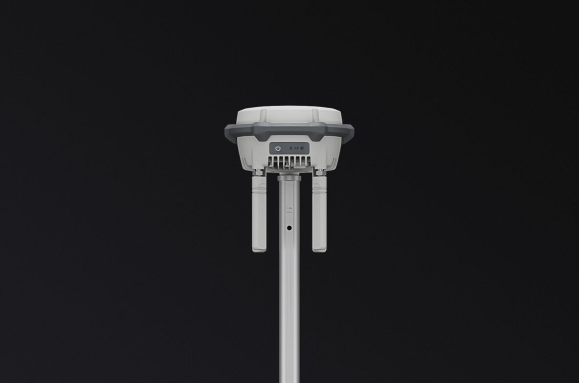
D-RTK 3 Multifunctional Station
Cm-level GNSS base / rover / relay — foundation of any M400 survey workflow.
View product → - DJI Terra
DJI Terra
Desktop mission planning + LiDAR / photogrammetry post-processing suite.
View product →