
Survey & Mapping
RTK, NTRIP, or PPK? A Practical Guide to Choosing the Right GNSS Correction Method
On its own, GNSS is off by several meters. Getting from there down to centimeter-level accuracy requires a correction method — and professional surveyor and geodetic engineer Rami Tamimi, founder of The Survey School, used a hands-on ROAR West workshop to walk through exactly how that correction works, and which method actually fits which job.
Remote Robotic · October 23, 2026 · 4 min read
Watch the ROAR West workshop
Watch on YouTube ↗On its own, GNSS is off by several meters. Getting from there down to centimeter-level accuracy requires a correction method — and professional surveyor and geodetic engineer Rami Tamimi, founder of The Survey School, used a hands-on ROAR West workshop to walk through exactly how that correction works, and which method actually fits which job.
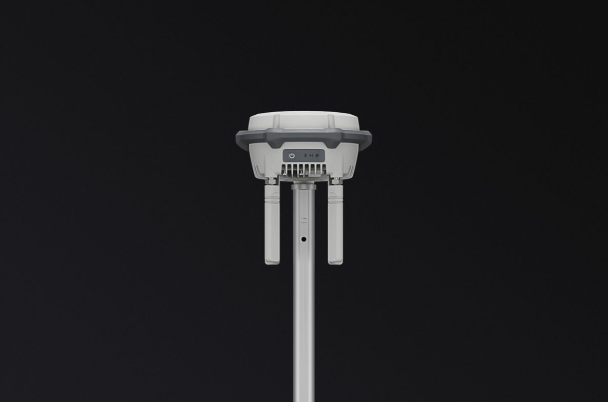
The underlying science is trilateration: a GNSS receiver set up on a precisely known point can compare its own observed position to its true position, at every instant, and calculate the error. "Those errors are constant," Tamimi explained, "so all it does is it sends those errors either through radio or the internet to your rover." That's the core of real-time kinematic (RTK) correction — a base station broadcasting live corrections to a moving receiver, synchronized by GPS clock.
Radio and internet-based (NTRIP) corrections deliver the same underlying correction, just over different infrastructure, and each has a clear use case. Radio works anywhere, with no internet connection required — ideal for remote sites, but limited in range, especially in rugged terrain, and it requires owning two receivers rather than one. NTRIP corrections travel over an internet connection to your own base station or a shared network, removing the range limitation but trading it for a dependency on connectivity. "They're both giving you the same corrections," Tamimi emphasized. "Don't think internet is bad... they both have their advantages and disadvantages." The deciding factor is baseline length: the closer your correction source, the faster and more accurate the fix, and the "age of correction" is the number to watch — under one second is ideal, and anything over five seconds will drop you into a float solution instead of a fixed one.
There's a third method that works differently: post-processing kinematic (PPK). Rather than correcting in real time, both the base station and the rover simply log their raw observations, and the correction is calculated afterward by synchronizing the two logs. "In a lot of cases, it's actually better... more reliable than real-time corrections," Tamimi said — though it doesn't work for applications needing an immediate answer in the field, like laying out a construction site. His own preferred approach on high-stakes work is to run both: take an RTK correction in the field for immediate usability, then run PPK afterward for a second, independent check. "If something happened to the PPK and it's not working well, I have my RTK."
Just as important as the correction method is knowing whether your receiver actually achieved a usable fix. Tamimi was direct about the standard: "In the survey world, we only collect data in fix." A float solution — the receiver still searching for its precise solution — is acceptable for GIS-level work measuring within 10 to 20 centimeters, but not for survey-grade data. The discipline is simple and easy to skip under field pressure: wait for fix, every time, rather than recording the moment a float solution briefly, unreliably, flickers into place.
Survey & mapping solutions · DJI drones for survey & mapping in Canada
Shop the story
Related products in our catalog
Every product below is stocked and supported by Remote Robotic in Canada.
- DJI Matrice 4E
DJI Matrice 4E
Compact mapping-first M4 Series with wide + medium-tele + tele cameras and laser rangefinder.
View product → - D-RTK 3 Multifunctional Station
D-RTK 3 Multifunctional Station
Cm-level GNSS base / rover / relay — foundation of any M400 survey workflow.
View product → - DJI Terra
DJI Terra
Desktop mission planning + LiDAR / photogrammetry post-processing suite.
View product →