Industrial Brief
Pipeline Inspection Drones in Canada | Oil & Gas
Compare DJI Matrice 4T, Matrice 400, and Dock 3 pipeline inspection drone programs for right-of-way patrols, thermal checks, LiDAR corridor modeling, and autonomous remote patrols in Canada.
Remote Robotic · September 18, 2026 · 12 min read
Why Inspect Pipelines by Drone?
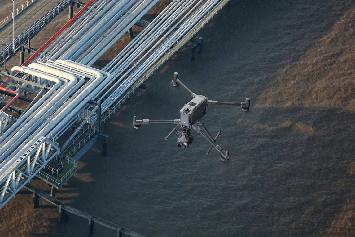
Pipeline inspection by drone gives oil and gas teams a faster way to check long, distributed assets than truck-and-windshield patrols, foot crews, or manned helicopter flights. A drone can capture the corridor from above, document visible right-of-way conditions, and bring thermal, zoom, and LiDAR methods into a single inspection program.
The goal is not to replace every inspection method. Drone inspection complements inline inspection, ground verification, and operator procedures by improving aerial visibility and repeatability across pipeline right-of-way patrols, facilities, crossings, and remote segments.
What a Pipeline Inspection Drone Detects
| Inspection target | What to look for | Method |
|---|---|---|
| ROW encroachment | New activity, structures, access, or intrusion along the right-of-way | Zoom visual patrol |
| Vegetation | Growth that can affect access, safety, visibility, or corridor management | Visual + LiDAR corridor review |
| Ground movement | Slope movement, erosion, washouts, settlement, or terrain change | LiDAR corridor modeling |
| Exposed pipe | Visible exposure from erosion, washouts, or disturbed cover | Zoom visual inspection |
| Leak-adjacent thermal | Surface temperature anomalies that support follow-up investigation | Radiometric thermal |
| Facility equipment | Thermal and visual checks around valves, tanks, stations, and above-ground assets | Thermal + zoom visual |
| Water crossings | Bank erosion, access changes, debris, ice, or terrain change near crossings | Visual + LiDAR |
| Third-party damage | Excavation, vehicles, equipment, or signs of unauthorized work | Recurring ROW patrol |
Drone inspection complements ILI and smart pigs. It adds aerial context, visual evidence, thermal review, and corridor modeling; it does not replace inline inspection or required ground verification.
The Platforms for Pipeline Inspection
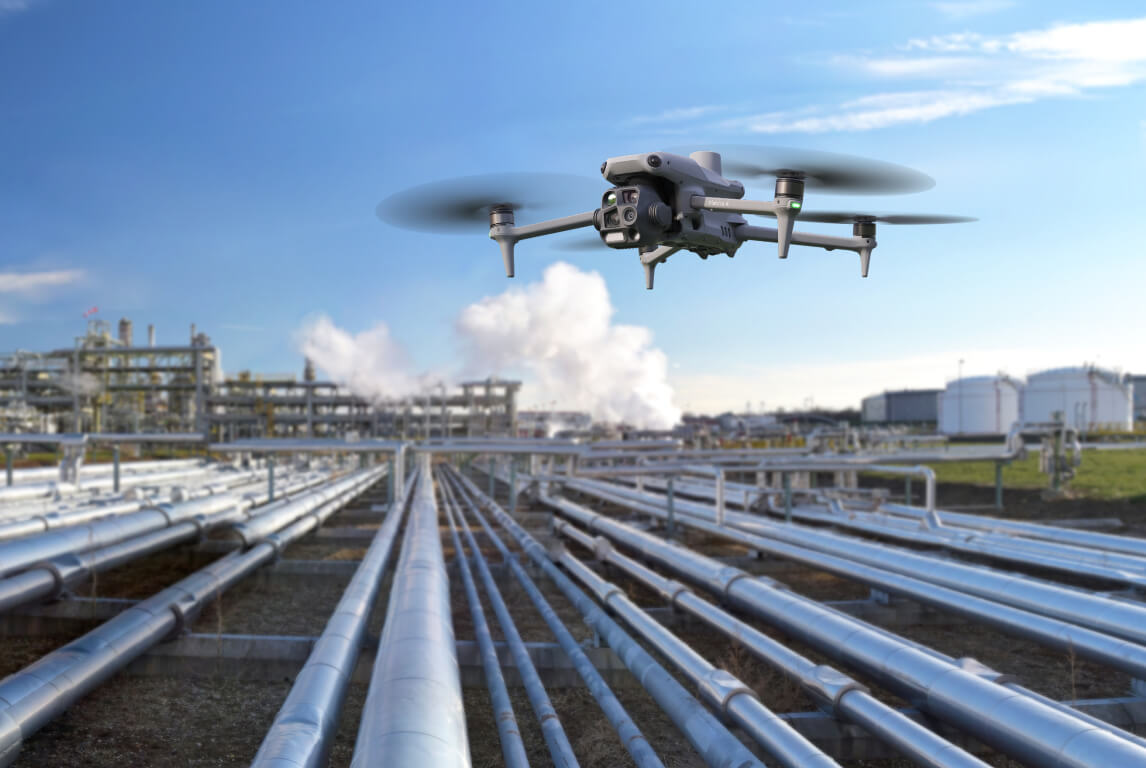
Matrice 4T is the compact option for right-of-way patrols, thermal checks, zoom visual review, and laser rangefinder measurements.
Platform 01 · ROW patrols
DJI Matrice 4T — Pipeline Patrol Aircraft
The DJI Matrice 4T is the everyday pipeline inspection aircraft: integrated thermal, 112x zoom, and a 1,800 m laser rangefinder in one compact drone for field patrols and facility checks.
| Specification | Figure |
|---|---|
| Thermal camera | 640 × 512 radiometric, ±2°C |
| Visual zoom | 48 MP, 112x hybrid |
| Laser rangefinder | 1,800 m |
| Max flight time | 49 min |
| IP rating | No standard IP rating |
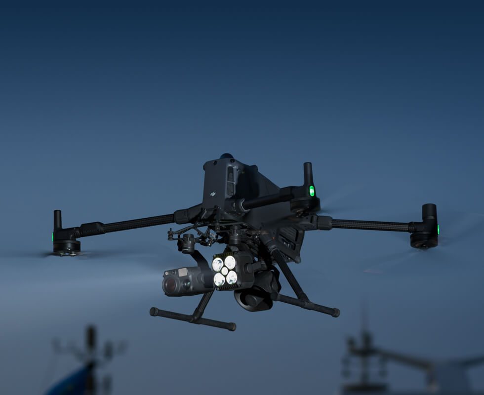
Matrice 400 carries heavier specialist payloads for corridor modeling, long-range inspection, and reporting-grade thermal work.
Platform 02 · Corridor LiDAR & specialist payloads
DJI Matrice 400 — LiDAR Corridor and Long-Range Payload Platform
The DJI Matrice 400 is the heavy-lift pipeline platform for LiDAR corridor modeling with the DJI Zenmuse L3, reporting-grade thermal work with the DJI Zenmuse H30T, and long-range specialist payload missions.
| Specification | Figure |
|---|---|
| Max payload | 6 kg |
| Payload examples | Zenmuse L3, Zenmuse H30T, specialist payloads |
| LiDAR accuracy | RTK-accurate, 1 cm + 1 ppm |
| Max flight time | 59 min |
| Operating temperature | -20°C to 50°C |
| IP rating | IP55 |
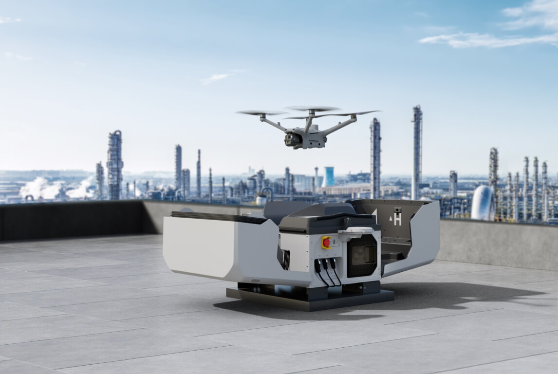
Dock 3 supports autonomous recurring pipeline and facility inspection routes from a fixed deployment site.
Platform 03 · Autonomous remote patrols
DJI Dock 3 + Matrice 4TD — Autonomous Pipeline Patrols
DJI Dock 3 with Matrice 4TD is for recurring patrols where the aircraft can live near the asset and fly the same route on schedule, managed through DJI FlightHub 2 with no pilot on site.
| Specification | Figure |
|---|---|
| Dock rating | IP56, -30°C |
| Aircraft | Matrice 4TD, IP55, -20°C |
| Operating radius | 10 km |
| Control platform | DJI FlightHub 2 |
Inspection Methods
Right-of-Way Patrols
Visual patrols document encroachment, third-party activity, exposed pipe, water crossings, and access changes along the ROW.
Thermal
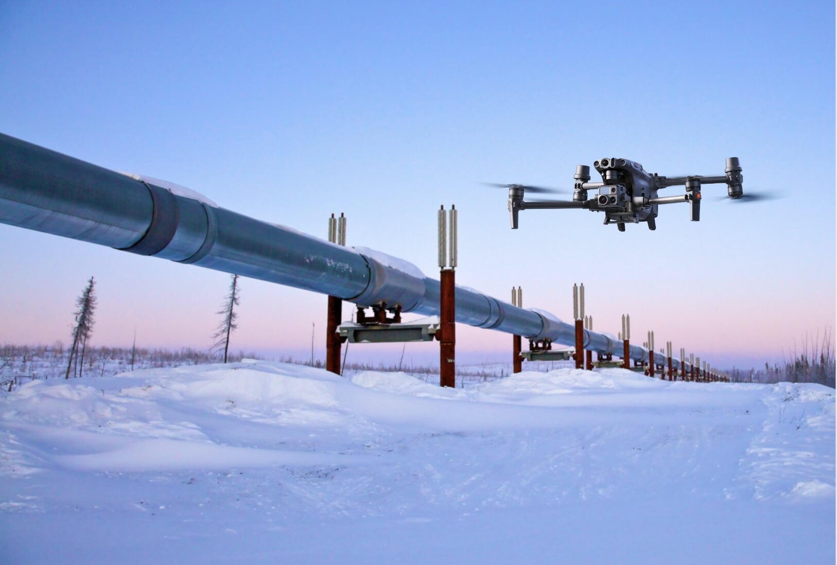
Radiometric thermal inspection supports leak-adjacent checks and facility equipment review, especially around above-ground assets.
LiDAR Corridor Modeling
LiDAR captures corridor geometry for vegetation, terrain, ground movement, exposed-pipe context, crossings, and repeatable reporting.
Autonomous Patrols
Dock-based aircraft fly recurring routes for remote or defined patrol areas where repeatability matters and a pilot is not on site.
Canadian Pipeline Use Cases
- 1
Gathering System Patrols
Right-of-way checks across field gathering systems, access roads, valves, and above-ground assets.
- 2
Transmission Corridor Survey
Longer corridor capture for visual inspection, LiDAR modeling, and repeatable reporting.
- 3
Remote & High-Risk Segment Monitoring
Targeted flights over remote, hard-to-access, or higher-risk segments where ground access is slow.
- 4
Encroachment & Third-Party Damage Prevention
Recurring checks for excavation, vehicles, structures, and other activity near the ROW.
- 5
Incident & Leak Response
Rapid aerial situational awareness after a reported incident, alarm, or suspected leak-adjacent condition.
- 6
Integrity & Regulatory Reporting
Georeferenced imagery and corridor models that support inspection records and follow-up work.
Weather & Year-Round Operation in Canada
| Platform | Weather / operating note | Pipeline role |
|---|---|---|
| Matrice 4T | No standard IP rating; best treated as fair-weather aircraft | Field patrols and facility checks |
| Matrice 400 | IP55, -20°C to 50°C, self-heating batteries | LiDAR corridors and specialist payload work |
| Dock 3 + Matrice 4TD | Dock IP56 to -30°C; aircraft IP55 to -20°C | Autonomous recurring remote patrols |
A Note on Classified Zones
Matrice aircraft are not intrinsically safe. For classified zones, plan flights overhead or outside the classified envelope, then pair the aerial inspection program with intrinsically safe portable instruments inside the classified area.
Parachutes & Flying Over People
Pipeline inspection flights can intersect people, roads, worksites, and facilities. Under CARs Part IX, flying near or over people depends on the aircraft, operation, and accepted safety assurance. For parachute planning, use AVSS Parachute Recovery System for the Matrice 4T / 4TD class and DJI AP100 Parachute for Matrice 400.
Compliance & Operations in Canada
Canadian pipeline operations can involve Advanced Operations pilot requirements, NAV CANADA coordination, RPAS Safety Assurance, BVLOS as a key pathway for corridor patrols, and SFOC approvals for mission profiles outside standard operating conditions. Remote Robotic can also support programs through a managed ROC service.
Common Questions
What is the best drone for pipeline inspection in Canada?
For right-of-way patrols, the DJI Matrice 4T. For LiDAR corridor modeling and long-range specialist payload work, the DJI Matrice 400. For autonomous remote patrols, DJI Dock 3 with Matrice 4TD.
Can a drone find pipeline leaks?
A pipeline inspection drone can detect leak-adjacent indicators such as thermal anomalies, disturbed ground, vegetation, water crossing changes, and facility equipment issues. It complements, but does not replace, inline inspection tools such as smart pigs.
Can drones inspect oil and gas pipelines in winter?
Yes, with the right platform. The Matrice 400 is IP55 and rated to -20°C with self-heating batteries; Dock 3 is IP56 and rated to -30°C, with a Matrice 4TD aircraft rated IP55 and -20°C. The Matrice 4T is best treated as a fair-weather aircraft.
Are DJI Matrice aircraft intrinsically safe?
No. Matrice aircraft are not intrinsically safe. For classified zones, they should fly overhead or outside the classified envelope, and operators should pair them with intrinsically safe portable instruments inside the area.
Can pipeline drone patrols be automated?
Yes. DJI Dock 3 with Matrice 4TD supports autonomous recurring patrols within a 10 km radius, so remote facilities and defined corridor segments can be checked on a fixed schedule without a pilot on site.
What approvals are needed for pipeline drone operations in Canada?
Operations can involve Advanced Operations pilot requirements, NAV CANADA coordination, RPAS Safety Assurance considerations, BVLOS approvals, and SFOC pathways depending on the location and mission profile. Remote Robotic can support this through a managed ROC service.
Patrol your pipeline from the air
Build the aircraft, payload, and operations plan.
Explore by Method & Industry
Sources
DJI specifications from enterprise.dji.com and DJI user manuals. Canadian operations guidance from Transport Canada at tc.canada.ca.
Disclaimer: vendor specifications, product configurations, and operating guidance can change without notice. Confirm final platform, payload, compliance, and weather limits before procurement or flight.
Shop the story
Related products in our catalog
Every product below is stocked and supported by Remote Robotic in Canada.
- DJI Matrice 4T
DJI Matrice 4T
Multi-sensor M4 Series with thermal + NIR + laser rangefinder for inspection & public safety.
View product → - DJI Matrice 400
DJI Matrice 400
Flagship enterprise M400 airframe — 59 min flight, 6 kg payload, multi-sensor ready.
View product → - DJI Matrice 4TD
DJI Matrice 4TD
Dock-native thermal M4TD with NIR aux light — night-ops DFR and thermal patrol.
View product → - DJI Zenmuse H30T
DJI Zenmuse H30T
Wide + 34× zoom + thermal (1280×1024) + laser rangefinder + NIR — the flagship M400 payload.
View product → - DJI Zenmuse L3
DJI Zenmuse L3
1535 nm long-range LiDAR + dual 100 MP RGB — survey-grade M400 mapping payload.
View product → - DJI AP100 Parachute
DJI AP100 Parachute
Certified recovery parachute for the M400 — the enabler for flight over people workflows.
View product → - DJI FlightHub 2 AIO
DJI FlightHub 2 AIO
Pre-installed on-premises appliance — up to 20 aircraft/docks, data stays on your network. CAD $22,285.
View product →