
Industrial Brief
DJI Drones for Construction & Infrastructure in Canada: The Complete Guide
Which DJI drone for construction? Compare the Matrice 4E, Matrice 4T, Matrice 400, and DJI Dock 3 for RTK progress capture, earthworks volumes, structural inspection, and autonomous site documentation on Canadian builds.
Remote Robotic · August 31, 2026 · 10 min read
Last verified against DJI's published specifications: August 2026.
Why Platform Choice Matters on a Construction Program
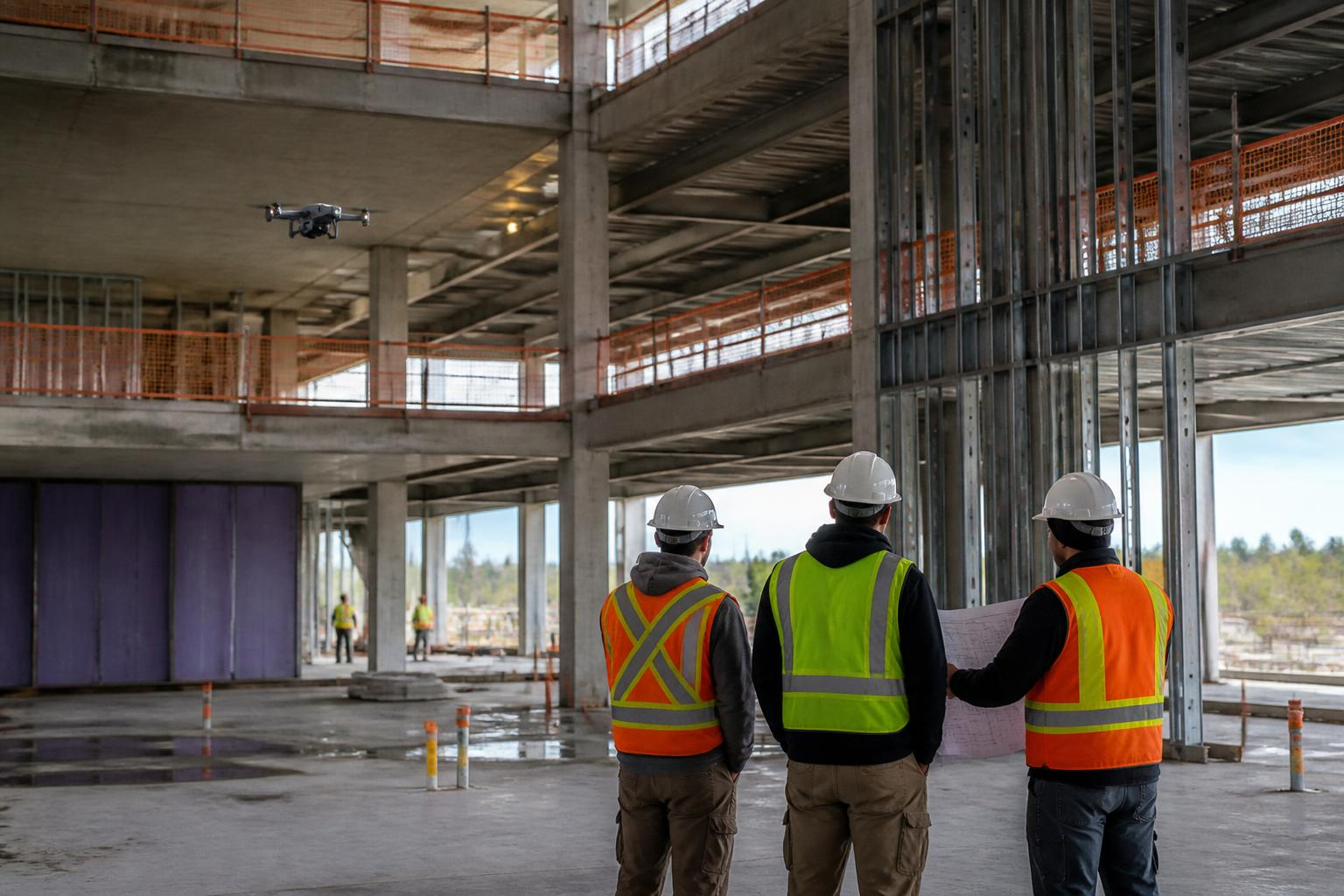
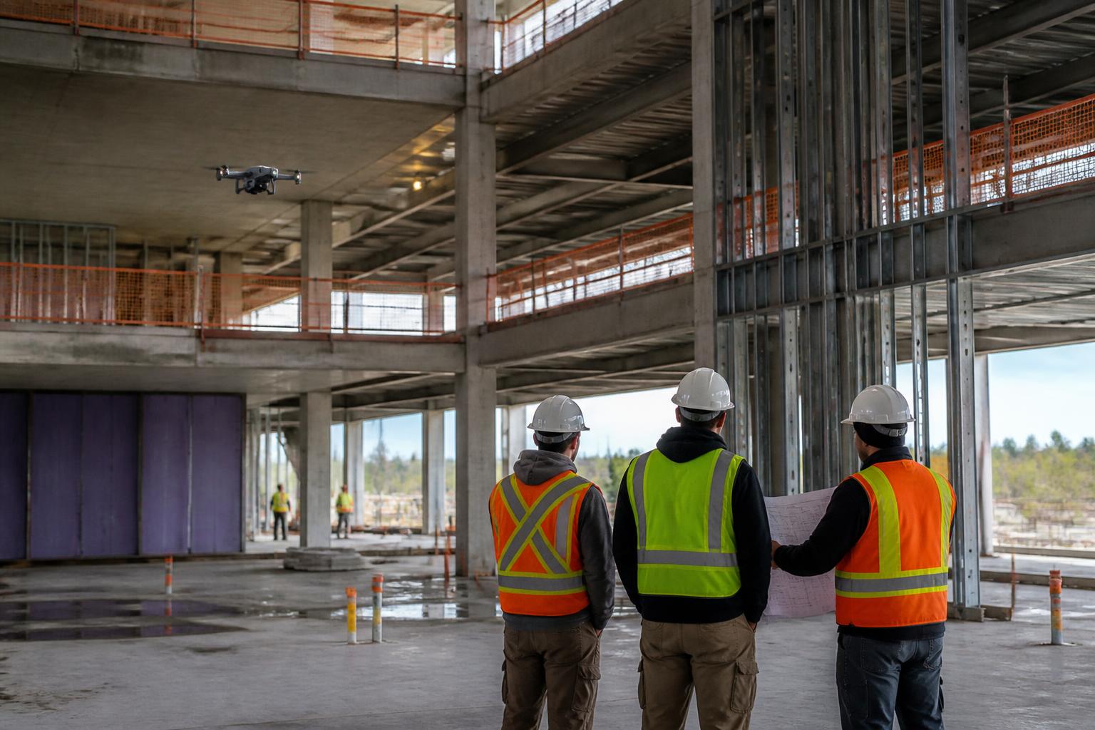
Construction and infrastructure work asks a drone to do several unrelated jobs. One week it's a survey instrument producing a centimetre-grade orthomosaic for a pay estimate. The next it's an inspection camera reading a thermal anomaly in a building envelope, or a documentation tool capturing the same viewpoint every Friday for eighteen months of a build.
Those jobs pull in different directions: mapping wants a large-sensor mechanical-shutter camera and RTK; inspection wants zoom and thermal; recurring documentation wants autonomy and weather-hardening. DJI's construction-relevant lineup splits along exactly those lines, and picking the wrong end of it is the most common — and most expensive — mistake we see on Canadian sites.
The DJI Construction Lineup at a Glance
| Platform | Class | Best construction use | Payload | Detailed guide |
|---|---|---|---|---|
| Matrice 4E | Compact mapping quad | Weekly progress capture, earthworks volumes, as-builts | Integrated 4/3-inch mapping camera | 4E construction guide |
| Matrice 4T | Compact inspection quad | Facade, structural & thermal inspection | Integrated thermal + 112x zoom + rangefinder | 4T inspection guide |
| Matrice 400 | Heavy-lift quad | Corridor LiDAR, large-site mapping, long standoff | 6 kg gimbal payloads (L3, P1, H30T) | M400 construction guide |
| DJI Dock 3 + Matrice 4D | Autonomous dock system | Scheduled, pilot-free recurring capture | Integrated mapping camera | Dock 3 mapping guide |
Six Jobs Drones Actually Do on Canadian Sites
1. Weekly progress capture. A repeatable mapping mission produces an orthomosaic and 3D model each week — the record that settles schedule disputes, supports pay applications, and shows an owner exactly what moved.
2. Earthworks and stockpile volumes. Cut/fill surfaces and material volumes computed from a 20-minute flight instead of a day of ground survey, with a visual audit trail behind every number.
3. Survey-grade as-builts. RTK photogrammetry — or LiDAR under canopy and on corridors — delivering centimetre-grade deliverables to the design team.
4. Structural, facade, and envelope inspection. Zoom and radiometric thermal capture of high-rise, bridge, and industrial structures without swing stages, lifts, or a closed lane.
5. Safety, logistics, and site-condition documentation. Daily overhead context for laydown planning, crane and access conflicts, drainage, and incident review.
6. Autonomous recurring documentation. A dock on the site perimeter flying the same route on a timer, so the record is captured whether a pilot is available or not.
Matrice 4E — The Site Mapping Default
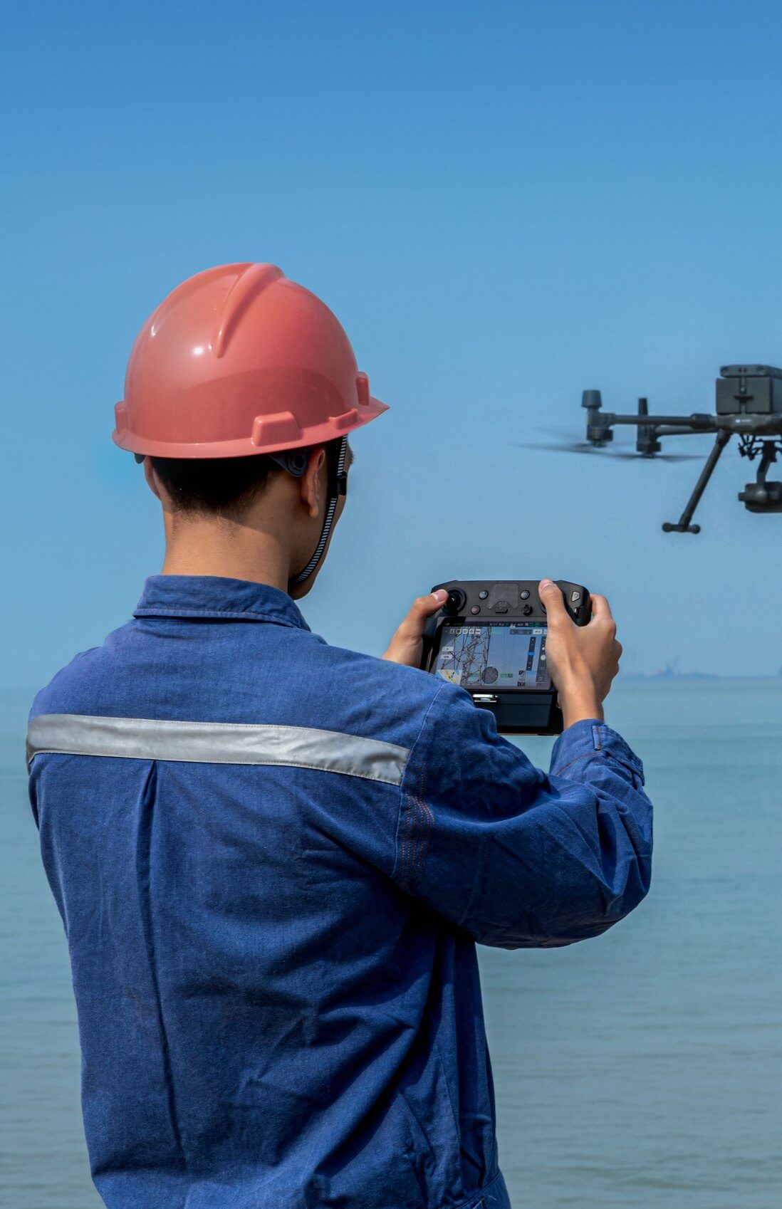
The Matrice 4E is the mapping member of the Matrice 4 Series: an integrated 4/3-inch, 20 MP mechanical-shutter mapping camera plus a tele lens, RTK positioning to 1 cm + 1 ppm, and up to 49 minutes of flight in a folding airframe one person carries and launches. For the great majority of construction programs — a tower crane site, a subdivision, an interchange, a plant expansion — this is the aircraft.
Best for: weekly progress orthos and 3D models, earthworks and stockpile volumes, as-built capture, oblique facade sets. Key limit: integrated sensors only — no gimbal port, so LiDAR and specialist payloads live on the Matrice 400.
| Matrice 4E — key construction specs | Figure |
|---|---|
| Mapping camera | 4/3-inch 20 MP, mechanical shutter |
| Auxiliary lens | Tele camera for detail and oblique capture |
| RTK accuracy | 1 cm + 1 ppm |
| Max flight time | 49 min |
| Operating temperature | -20°C to 50°C |
| IP rating | IP54 |
| Typical output | Orthomosaic, 3D mesh, dense point cloud, volumes |
Matrice 4T — Structural, Facade & Thermal Inspection
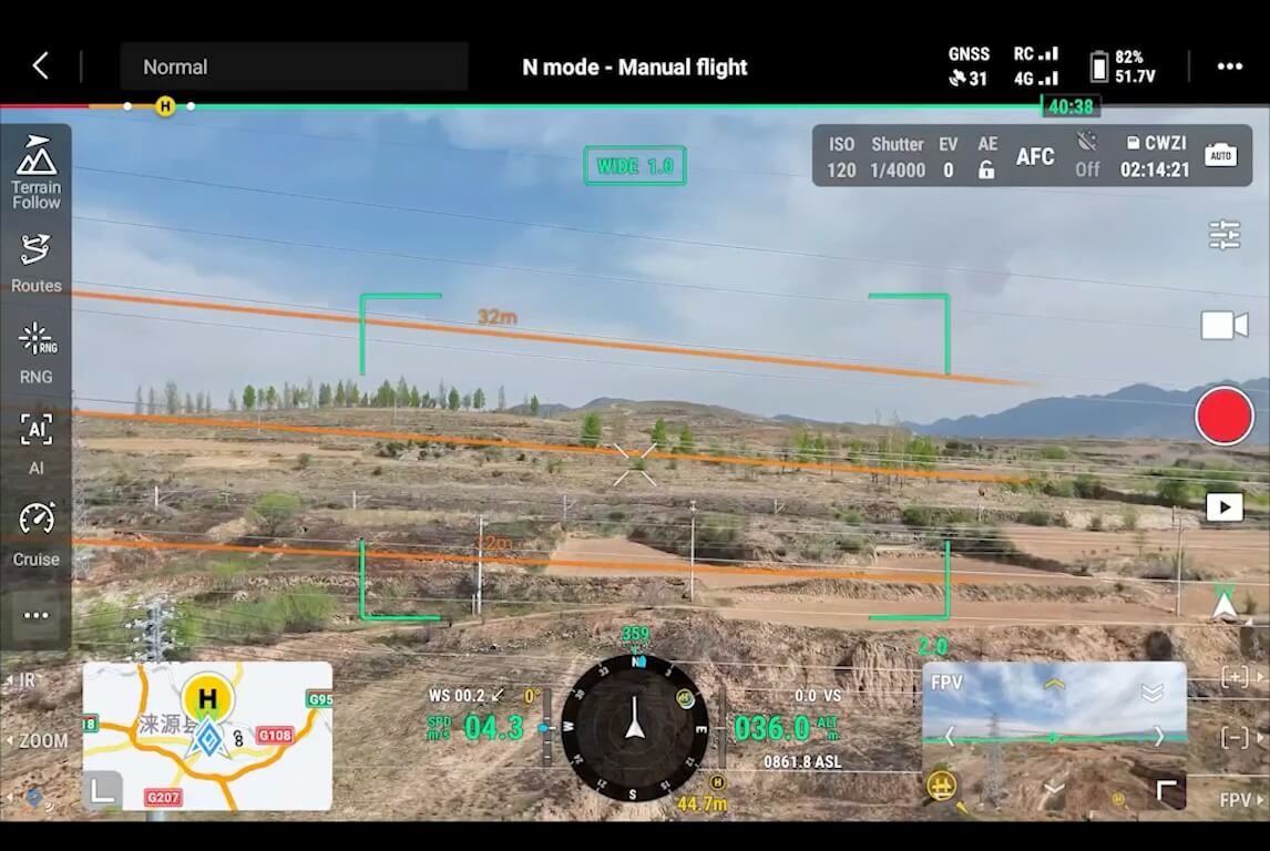
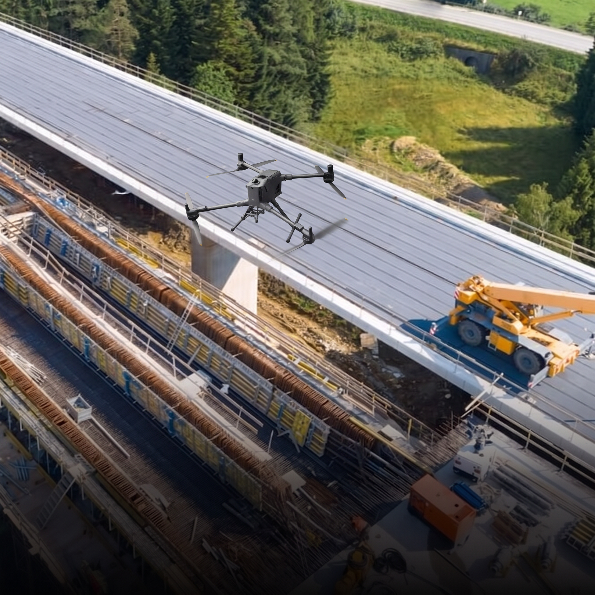
Where the 4E maps, the Matrice 4T inspects. It carries a 640 × 512 radiometric thermal camera (±2°C), a wide/medium/tele visual system with 112x hybrid zoom, and a 1,800 m laser rangefinder in the same 49-minute airframe. On a construction program that means envelope and roof thermal scans, high-rise and bridge structural capture at a safe standoff, night security sweeps, and post-incident documentation.
Many Canadian teams run both: a 4E for the survey deliverables and a 4T for everything that needs to be looked at closely rather than measured.
Matrice 400 — Heavy-Lift Mapping & Corridor LiDAR
The Matrice 400 is the heavy-lift platform: up to 59 minutes of flight, a 6 kg payload capacity, IP55 sealing, and 1 cm RTK. On construction and infrastructure work it earns its place when the site is a corridor rather than a block, when vegetation or a tight schedule demands LiDAR, or when the deliverable needs the resolution of a full-frame photogrammetry sensor.
| Payload | What it delivers | Where it fits |
|---|---|---|
| Zenmuse L3 | Survey-grade aerial LiDAR point cloud | Corridors, vegetated ground, bare-earth surfaces under canopy |
| Zenmuse P1 | 45 MP full-frame photogrammetry | Large-area mapping and high-resolution as-builts |
| Zenmuse H30T | Radiometric thermal + long-range zoom | Structural, envelope, and mechanical inspection at standoff |
| DJI D-RTK 3 Multifunctional Station | Base station / network RTK | Consistent georeferencing across a long build |
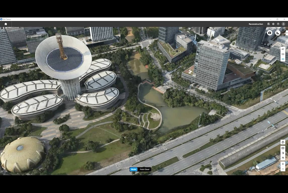
Pair the aircraft with DJI Terra for orthomosaics, meshes, point clouds, and volumes, and the deliverables drop into Autodesk, Bentley, Trimble, and Procore workflows as GeoTIFF, OBJ/FBX, and LAS/LAZ.
DJI Dock 3 — Recurring Capture Without a Pilot on Site
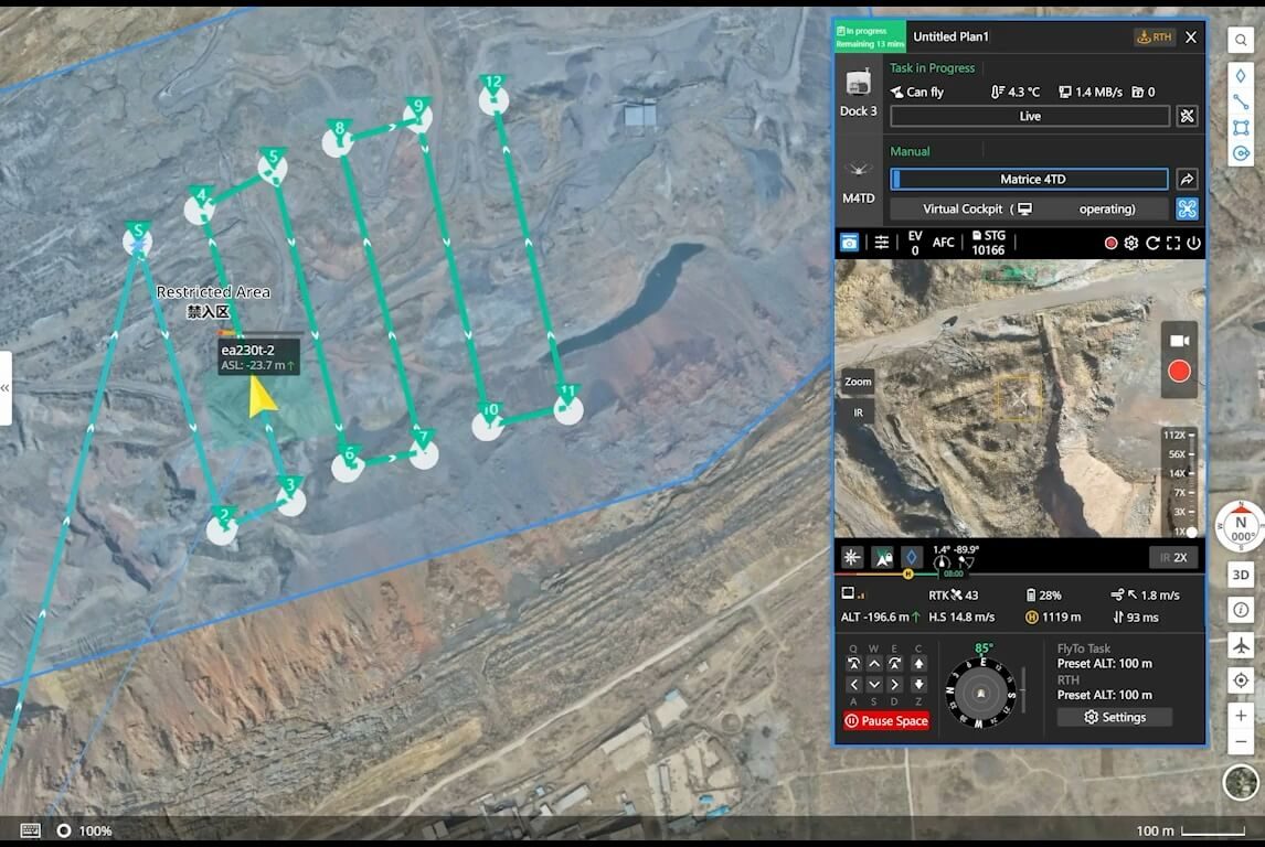
Long builds fail at capture cadence, not at capture quality. A DJI Dock 3 with a docked Matrice 4D removes the scheduling problem: the aircraft launches on a timer, flies the same route, returns, charges, and pushes data into FlightHub 2. The dock is IP56 and rated to -30°C, and it can be fixed to a pad or vehicle-mounted so it moves as the site moves.
From Flight to Deliverable: The Construction Data Chain
| Stage | Tool | Output |
|---|---|---|
| Plan | DJI Pilot 2 / FlightHub 2 | Repeatable route, GSD and overlap set for the deliverable |
| Georeference | DJI D-RTK 3 Multifunctional Station | 1 cm RTK across the whole build |
| Capture | Matrice 4E / Matrice 400 / Matrice 4D | Nadir + oblique image sets, or LiDAR swaths |
| Process | DJI Terra | Orthomosaic (GeoTIFF), 3D mesh (OBJ/FBX), point cloud (LAS/LAZ) |
| Use | Autodesk, Bentley, Trimble, Procore | Progress overlay, 4D comparison, volumes, as-builts |
Parachutes & Flying Over an Active Site
Construction sites have people on them, which makes overhead flight an advanced operation under Transport Canada's CARs Part IX. A deployable parachute is the recognized ground-risk mitigation, and it is platform-specific — it does not transfer between airframes.
| Platform | Parachute | Notes |
|---|---|---|
| Matrice 400 | DJI AP100 Parachute | Purpose-built for the M400; Canadian over-people certification still in progress |
| Matrice 4E / 4T / 4D | AVSS Parachute Recovery System for the Matrice 4 Series | 149 g, <0.5 s deploy, motor cut-off, ~3.8 m/s descent, ASTM F3322 / EASA MOC docs |
In practice most sites are captured either outside working hours or with the flight path kept clear of crews. Where that isn't possible, we scope the parachute and the over-people compliance case together with the aircraft rather than after it.
IP Ratings & Canadian Weather
| Platform | IP rating | Operating temp | All-weather? |
|---|---|---|---|
| Matrice 4E | IP54 | -20°C to 50°C | Light precipitation and dust |
| Matrice 4T (handheld) | No standard rating | -10°C to 40°C | Fair-weather; no rain |
| Matrice 400 | IP55 | -20°C to 50°C | Yes; dust & rain, self-heating battery |
| DJI Dock 3 | IP56 | -30°C to 50°C | Yes; sealed, weather sensors |
| Matrice 4D (docked) | IP55 | -20°C to 50°C | Yes; self-heating battery |
A Canadian build runs through freeze-thaw, shoulder-season rain, and short winter days. If the capture cadence has to hold through all of it, the platform is a Matrice 4E or 400 with a disciplined weather window — or a Dock 3 deployment, which is the only configuration in this lineup rated to -30°C.
Beyond the Air: Ground Robots on Site
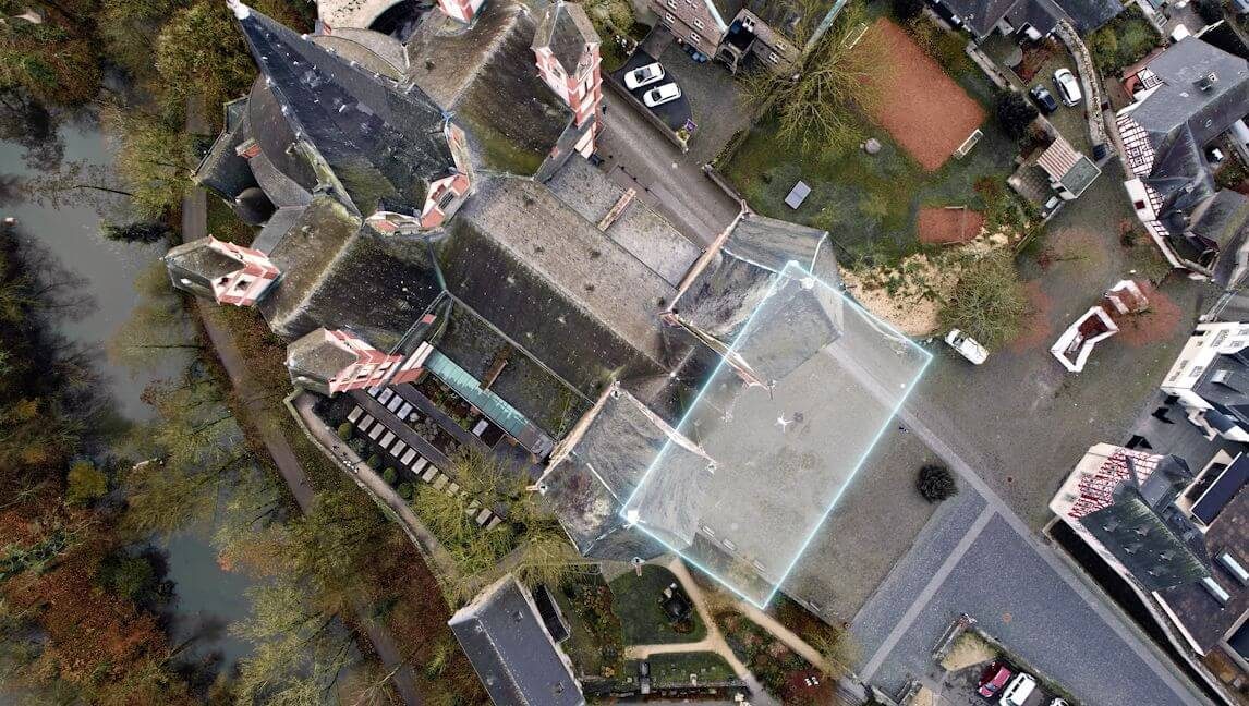
Aerial capture stops at the roofline. For interior progress documentation, tunnel and shaft rounds, and repeatable walkdowns of a structure that is already enclosed, an autonomous ground platform like Boston Dynamics Spot runs the same route daily with a visual and thermal payload. Aerial for the site, ground for the interior — that combination is what a mature construction documentation program looks like.
Compliance & Operations in Canada
Urban and infrastructure sites are almost always advanced operations: a pilot certified for Advanced Operations, NAV CANADA authorization in controlled airspace, a valid RPAS Safety Assurance declaration for the aircraft, and — near airports or over people — an SFOC. We support certification, airspace authorization, and SFOC applications, and for teams that want the deliverable rather than the drone program, our Remote Operations Center flies the recurring capture as a managed service.
Common Questions
Which DJI drone is best for construction site mapping?
For most Canadian construction programs the Matrice 4E is the right first aircraft — a 4/3-inch mapping camera, 1 cm RTK, and 49-minute endurance cover weekly progress capture and earthworks volumes. Larger corridors or LiDAR work move to the Matrice 400 with the Zenmuse L3 or P1.
How accurate is drone mapping on a construction site?
With RTK and a properly flown mission, DJI publishes 1 cm + 1 ppm positioning on the Matrice 4E and Matrice 400, which supports centimetre-grade orthomosaics and volumes when ground control and flight discipline are in place. Accuracy is a workflow result, not just a spec — GSD, overlap, and checkpoints all matter.
Can drones measure earthworks and stockpile volumes?
Yes. RTK photogrammetry from the Matrice 4E or Matrice 400 produces point clouds and surfaces that DJI Terra or third-party software turns into cut/fill and stockpile volumes, usually far faster than a ground crew and with a full visual record of the site.
Can I automate weekly site progress capture?
Yes — a DJI Dock 3 with a docked Matrice 4D flies the same mapping route on a schedule with no pilot on site. The dock is IP56 and rated to -30°C, and can be fixed or vehicle-mounted as the site moves.
Which DJI drone works for structural and facade inspection?
The Matrice 4T for zoom and thermal capture of high-rise, bridge, and structural assets, and the Matrice 400 when the job needs a heavier payload or a longer standoff. Both remove most swing-stage and lift cost from an inspection.
Do drone deliverables load into Procore, Autodesk, or Bentley?
Yes — orthomosaics (GeoTIFF), 3D meshes (OBJ/FBX), and point clouds (LAS/LAZ) from DJI Terra or Pix4D import into common construction and BIM stacks for progress overlay and 4D comparison.
Can I fly a drone over an active construction site with workers on it?
Flight over people is an advanced operation under Transport Canada's CARs Part IX. A deployable parachute is the recognized ground-risk mitigation — the DJI AP100 on the Matrice 400 and the AVSS system on the Matrice 4 Series — and we scope the compliance case with the platform.
Matrice 4E vs Matrice 4T vs Matrice 400 vs Dock 3
| Feature | Matrice 4E | Matrice 4T | Matrice 400 | Dock 3 + Matrice 4D |
|---|---|---|---|---|
| Class | Compact mapping quad | Compact inspection quad | Heavy-lift quad | Autonomous dock system |
| Primary sensor | 4/3-inch 20 MP mapping | 640 × 512 thermal + 112x zoom | 6 kg gimbal payloads | Integrated mapping camera |
| Carries LiDAR? | No | No | Yes (Zenmuse L3) | No |
| RTK accuracy | 1 cm + 1 ppm | 1 cm + 1 ppm | 1 cm + 1 ppm | 1 cm + 1 ppm |
| Max flight time | 49 min | 49 min | 59 min | 54 min |
| IP rating | IP54 | No standard rating | IP55 | IP55 aircraft / IP56 dock |
| Operating temp | -20°C to 50°C | -10°C to 40°C | -20°C to 50°C | -20°C aircraft / -30°C dock |
| Parachute | AVSS | AVSS | DJI AP100 | AVSS (configuration-specific) |
| Deployment | Handheld | Handheld | Handheld | Fixed or vehicle-mounted dock |
| Best for | Progress capture, volumes, as-builts | Facade, structural, thermal | Corridor LiDAR, large sites | Pilot-free recurring capture |
Which One for Your Program?
Choose the Matrice 4E if the deliverable is a map — weekly orthos and models, earthworks volumes, and as-builts on a site one person can cover in a couple of flights.
Add the Matrice 4T when the work turns to looking rather than measuring: envelope thermal, facade and structural capture, night security, incident documentation.
Choose the Matrice 400 when the site is a corridor, when vegetation or accuracy demands the Zenmuse L3, or when you need the Zenmuse P1 resolution and the longest endurance in the lineup.
Deploy a DJI Dock 3 with an Matrice 4D when the constraint is cadence rather than capability — a multi-year build that has to be documented on schedule whether a pilot is available or not.
Not sure which fits? Talk to us — tell us the site size, capture cadence, and the software your deliverables land in, and we'll scope the combination instead of selling one aircraft for every job. You can also configure a Matrice 400 or request a proposal.
The Bottom Line for Canadian Construction Teams
The DJI construction lineup is a mapping aircraft (Matrice 4E), an inspection aircraft (Matrice 4T), a heavy-lift LiDAR and photogrammetry platform (Matrice 400), and an autonomous dock (Dock 3 + Matrice 4D). Most programs start with one 4E and a weekly cadence, add a 4T when inspection work appears, and escalate to the 400 or a dock as sites get larger or longer. Matching the payload, the IP rating, and the autonomy model to the actual work is what separates a documentation program that survives a Canadian winter from one that quietly stops in November.
Sources
- DJI Matrice 4 Series, Matrice 400, and Dock 3 specifications: enterprise.dji.com
- DJI Matrice 4 Series, Matrice 400, and Matrice 4D / Dock 3 User Manuals
- Transport Canada, Drone operation categories and pilot certificates: tc.canada.ca
Disclaimer — Remote Robotic publishes content based on the latest available information from our vendors and partners. Specifications, pricing, certifications, and feature availability can change without notice, and some details may be incorrect or subject to verification. Always confirm critical specifications with our team before making a purchasing or operational decision.
Shop the story
Related products in our catalog
Every product below is stocked and supported by Remote Robotic in Canada.
- DJI Matrice 4E
DJI Matrice 4E
Compact mapping-first M4 Series with wide + medium-tele + tele cameras and laser rangefinder.
View product → - DJI Matrice 4T
DJI Matrice 4T
Multi-sensor M4 Series with thermal + NIR + laser rangefinder for inspection & public safety.
View product → - DJI Matrice 400
DJI Matrice 400
Flagship enterprise M400 airframe — 59 min flight, 6 kg payload, multi-sensor ready.
View product → - DJI Dock 3
DJI Dock 3
Automated dock for Matrice 4D and Matrice 4TD remote inspection programs.
View product → - DJI Matrice 4D
DJI Matrice 4D
Dock-native M4D — IP55, ~54 min flight, pairs with Dock 3 for autonomous DFR & BVLOS.
View product → - DJI Zenmuse L3
DJI Zenmuse L3
1535 nm long-range LiDAR + dual 100 MP RGB — survey-grade M400 mapping payload.
View product → - DJI Zenmuse P1
DJI Zenmuse P1
45 MP full-frame photogrammetry with global shutter — 3 cm accuracy without GCPs.
View product → - D-RTK 3 Multifunctional Station
D-RTK 3 Multifunctional Station
Cm-level GNSS base / rover / relay — foundation of any M400 survey workflow.
View product → - DJI Terra
DJI Terra
Desktop mission planning + LiDAR / photogrammetry post-processing suite.
View product → - DJI AP100 Parachute
DJI AP100 Parachute
Certified recovery parachute for the M400 — the enabler for flight over people workflows.
View product → - AVSS Parachute Recovery System for Matrice 4 Series
AVSS Parachute Recovery System for Matrice 4 Series
Parachute recovery system for Matrice 4 Series flight-over-people planning.
View product →