
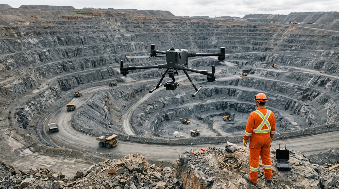
Industrial Brief
DJI Drones for Mining & Surveying in Canada: The Complete Guide
Which DJI drone for mining? Compare the Matrice 400, Matrice 4E, and DJI Dock 3 for stockpile volumetrics, pit progression, slope monitoring, and LiDAR — plus the LiDAR, GPR, and ground-robot systems that complete a Canadian mine program.
Remote Robotic · August 25, 2026 · 9 min read
Last verified against DJI's published specifications: July 2026.
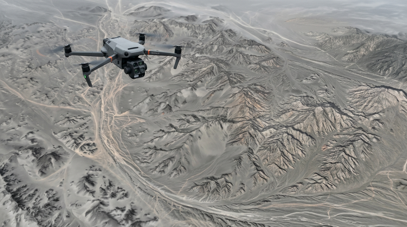
Why Platform Choice Matters in Mining
Mine survey data has to reconcile — stockpile volumes against production, pit progression against the plan, slope movement over time — so the aircraft has to deliver accuracy, on a cadence, in Canadian conditions. But "which drone" is the wrong first question. The right one is "which job," because a single mine program spans work that no one aircraft does well: centimetre photogrammetry, vegetation-penetrating LiDAR, subsurface GPR, and GPS-denied underground scanning.
DJI's mining-relevant lineup splits cleanly by payload and autonomy. The rest of this guide walks each platform, what it's for, and where it hands off to a heavier or specialist system.
The DJI Mining Lineup at a Glance
| Platform | Class | Best mining use | Payload | Detailed guide |
|---|---|---|---|---|
| Matrice 4E | Compact mapping quad | Daily stockpile & pit photogrammetry | Integrated 4/3" mapping camera | 4E mining guide |
| Matrice 400 | Heavy-lift quad | Aerial LiDAR, GPR, long-range survey | 6 kg, gimbal payloads | M400 mining guide |
| DJI Dock 3 + Matrice 4D | Autonomous dock system | Recurring, pilot-free survey | Integrated 4/3" mapping camera | Dock 3 mining guide |
Matrice 4E — The Daily Photogrammetry Workhorse

The Matrice 4E is DJI's compact mapping aircraft: a 4/3-inch 20 MP mechanical-shutter camera, RTK positioning to 1 cm + 1 ppm, and 49-minute flights in a folding 1.2 kg airframe. It's the tool a surveyor grabs for a stockpile count, a weekly pit capture, or a slope photogrammetry run — fast to deploy, survey-grade output.
Best for: stockpile volumetrics, pit and bench progression, slope-face photogrammetry, aggregate site mapping. Key limit: 200 g payload, no gimbal port — it can't carry LiDAR or GPR. That's the Matrice 400's job.
| Matrice 4E — key mining specs | Figure |
|---|---|
| Wide (mapping) camera | 4/3-inch, 20 MP, mechanical shutter |
| RTK accuracy | 1 cm + 1 ppm (H), 1.5 cm + 1 ppm (V) |
| Max flight time | 49 min |
| Operating temperature | -10°C to 40°C |
| IP rating | No standard rating (see weather note) |
Matrice 400 — The Heavy-Lift LiDAR & GPR Platform
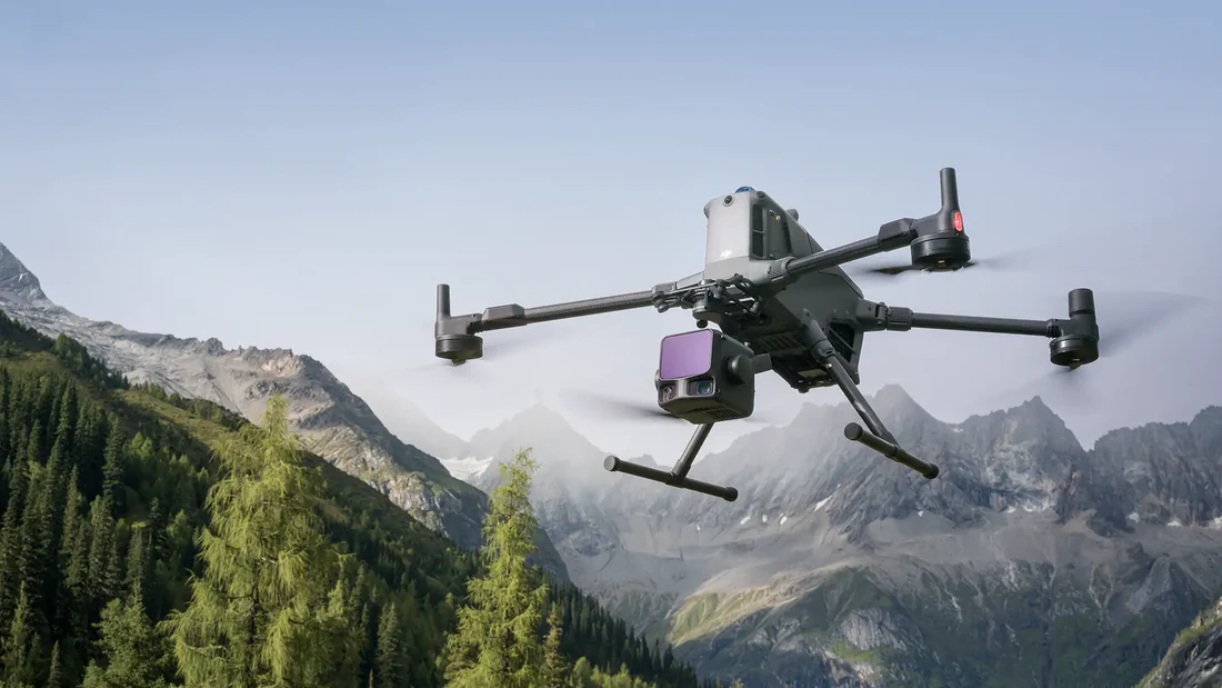
When the job needs a dedicated sensor, the Matrice 400 is the heavy-lift airframe: a 6 kg payload capacity, IP55 weather sealing, a -20°C operating floor with self-heating batteries, 59-minute flights, and survey-grade RTK. It carries the LiDAR and GPR payloads that produce dense point clouds and subsurface data the compact aircraft can't.
Best for: aerial LiDAR (vegetation-penetrating point clouds), drone GPR (voids, overburden), large-area and slope survey with a dedicated sensor, over-people work with a parachute (below). Key strength: it's the airframe that carries a LiDAR payload like the DJI Zenmuse L3, and the only DJI mining platform compatible with the DJI AP100 Parachute.
| Matrice 400 — key mining specs | Figure |
|---|---|
| Max payload | 6 kg (third gimbal connector, sea level) |
| RTK accuracy | 1 cm + 1 ppm (H), 1.5 cm + 1 ppm (V) |
| Max flight time | 59 min |
| Operating temperature | -20°C to 50°C |
| IP rating | IP55 |
| Sensing | 360° rotating LiDAR, mmWave radar, omnidirectional vision |
DJI Dock 3 — Automated, Pilot-Free Recurring Survey
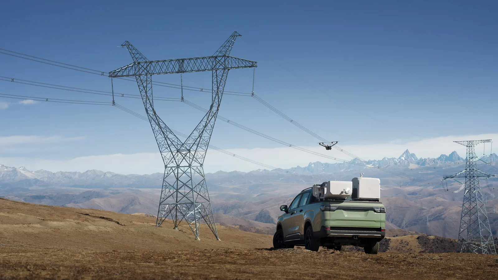
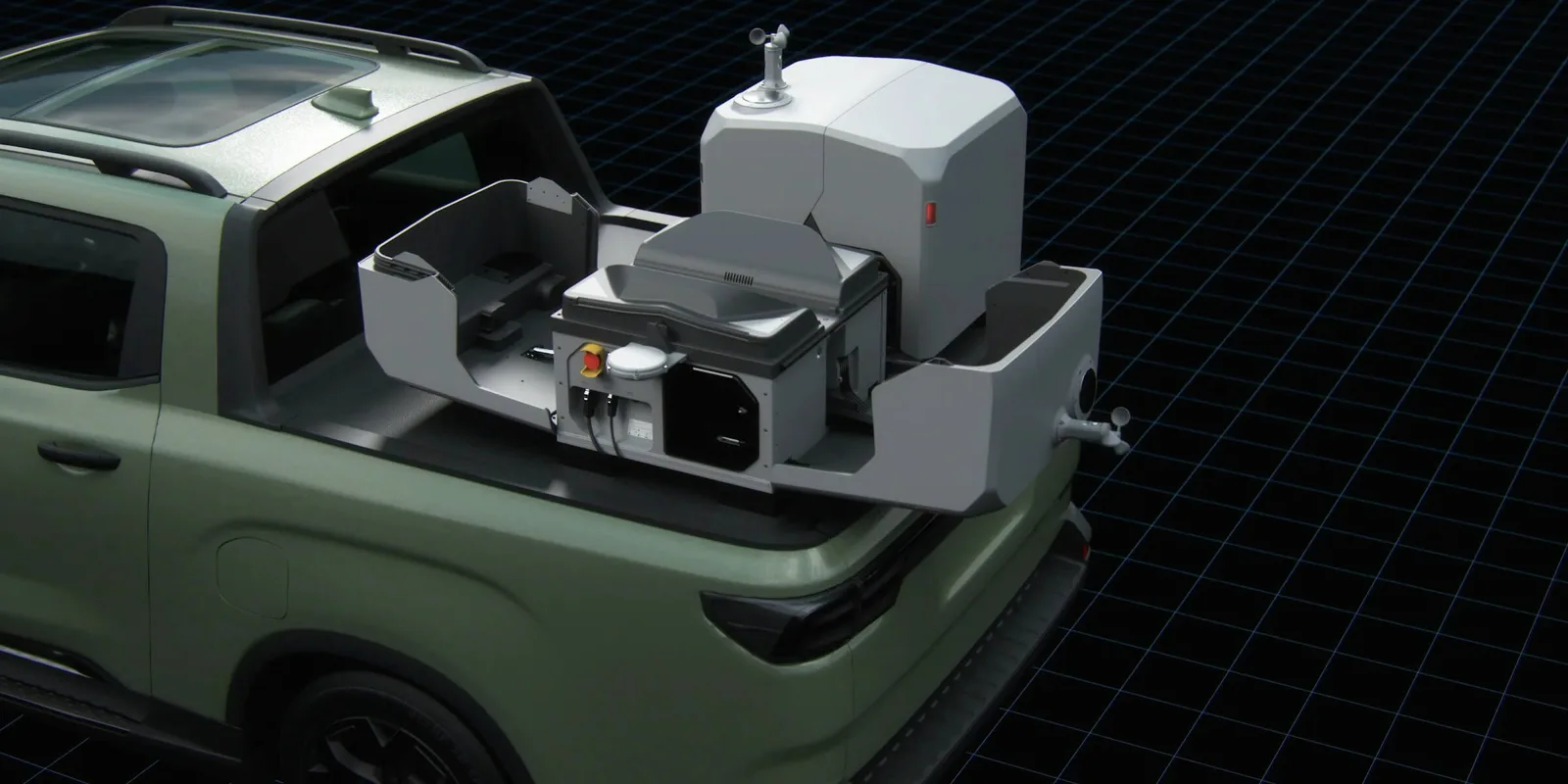
The DJI Dock 3 puts a Matrice 4D on site permanently and flies the same RTK photogrammetry mission on a schedule, with no pilot dispatched. It's the answer for recurring capture where the cost is getting a crew to the pit — stockpile volumes on a cadence, weekly progression, slope monitoring — managed from the office through DJI FlightHub 2.
Best for: recurring stockpile volumetrics, automated pit progression, slope and tailings monitoring, remote-site coverage. Key strength: the weather story — the dock is IP56 and rated to -30°C, the docked Matrice 4D is IP55 and -20°C with a self-heating battery, making genuinely year-round automated capture realistic in Canada.
| DJI Dock 3 + Matrice 4D — key specs | Figure |
|---|---|
| Dock ingress protection | IP56 |
| Dock operating temperature | -30°C to 50°C |
| Aircraft (4D) IP rating | IP55 |
| Aircraft operating radius | 10 km from dock |
| Aircraft max flight time | 54 min |
| Deployment | Fixed or vehicle-mounted |
Completing the Program: The Full Mining Ecosystem
DJI aircraft cover the aerial photogrammetry and LiDAR layers, but a complete Canadian mine program spans jobs that need ground robots, specialist LiDAR, and subsurface sensors. Here's how the whole ecosystem we supply fits together.
| Mining job | Platform | Role |
|---|---|---|
| Daily stockpile & pit photogrammetry | DJI Matrice 4E | Fast-deploy RTK mapping |
| Recurring automated survey | DJI Dock 3 + Matrice 4D | Pilot-free scheduled capture |
| Aerial LiDAR (dense point clouds) | DJI Matrice 400 + DJI Zenmuse L3 | Vegetation-penetrating terrain models |
| Ground / handheld SLAM | GreenValley LiGrip, Leica BLK ARC | GPS-denied and detail scanning |
| Underground & confined-space | Boston Dynamics Spot + SLAM payload | Drifts, shafts, stopes |
| Drone GPR (subsurface) | GPR array on the Matrice 400 | Voids, overburden, utility locate |
| RTK positioning, no network | DJI D-RTK 3 Multifunctional Station | Centimetre reference on remote pits |
Most mine programs run a DJI aircraft (or a dock) for the day-to-day aerial survey and layer in ground SLAM and GPR for the jobs only those platforms can do. We scope the mix against your deposit, terrain, and deliverables.
Mining Use Cases Across the Lineup
1. Stockpile Volumetrics
Repeatable, cm-grade volumes that reconcile against production. The Matrice 4E handles this on demand; the DJI Dock 3 automates it on a cadence. RTK ties every volume to your site datum.
2. Pit & Bench Progression
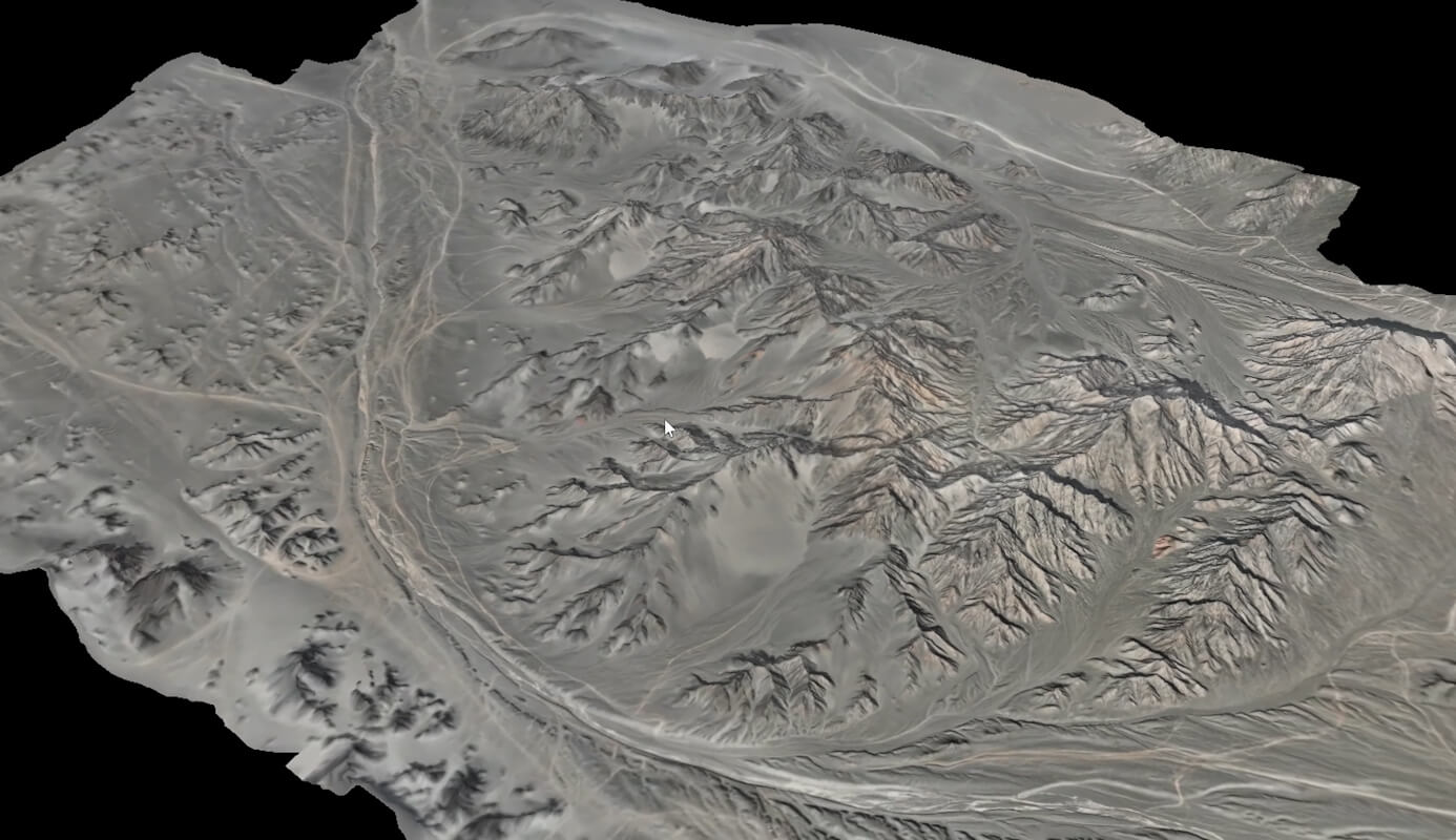
Weekly surface models feeding mine planning and reserve tracking. Flown identically each time — by a surveyor with a 4E, or automatically from a dock — so datasets are directly comparable.
3. Slope, High-Wall & Tailings Monitoring
Point-cloud change detection across faces and dams from a safe standoff. The Matrice 400's dedicated LiDAR gives the densest data; the 4E and Dock 3 cover photogrammetric monitoring.
4. LiDAR Terrain & Vegetation Penetration
Bare-earth models under tree cover for greenfield and reclamation work — a Matrice 400 + DJI Zenmuse L3 job, beyond the compact aircraft's payload.
5. Subsurface & Underground
GPR on a heavy-lift airframe for voids and overburden; Boston Dynamics Spot with a SLAM payload for GPS-denied drifts, shafts, and stopes.
6. Deliverables into Mine Planning
All aerial outputs export as LAS/LAZ, DXF, GeoTIFF, and ASCII for MineSight, Deswik, Vulcan, Surpac, and Leapfrog, processed through DJI Terra or LiDAR360.
Parachutes & Over-People Flight
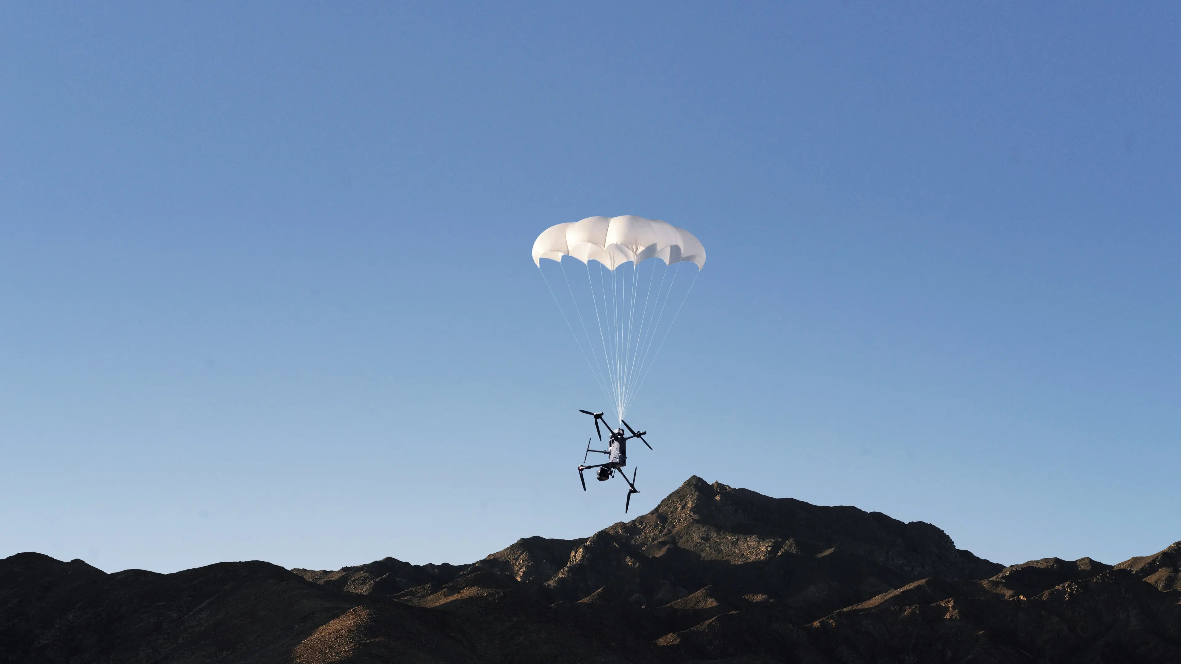
Flying over crews or uninvolved people is an advanced operation under Transport Canada's CARs Part IX, and a deployable parachute is the recognized ground-risk mitigation. The right system is platform-specific — a parachute is engineered for a particular airframe and doesn't transfer:
| Platform | Parachute | Notes |
|---|---|---|
| Matrice 400 | DJI AP100 Parachute | Purpose-built for the M400; Canadian over-people certification still in progress |
| Matrice 4E / 4D | AVSS Parachute Recovery System for the Matrice 4 Series | 149 g, <0.5 s deploy, motor cut-off, ~3.8 m/s descent, ASTM F3322 / EASA MOC docs |
For the Matrice 4 Series (4E and the docked 4D), the AVSS system is the recognized mitigation; for the heavy-lift Matrice 400, it's the DJI AP100. Parachute integration and its Canadian regulatory standing are configuration-specific, so we scope the parachute and the over-people compliance case together with the platform.
IP Ratings & Canadian Weather
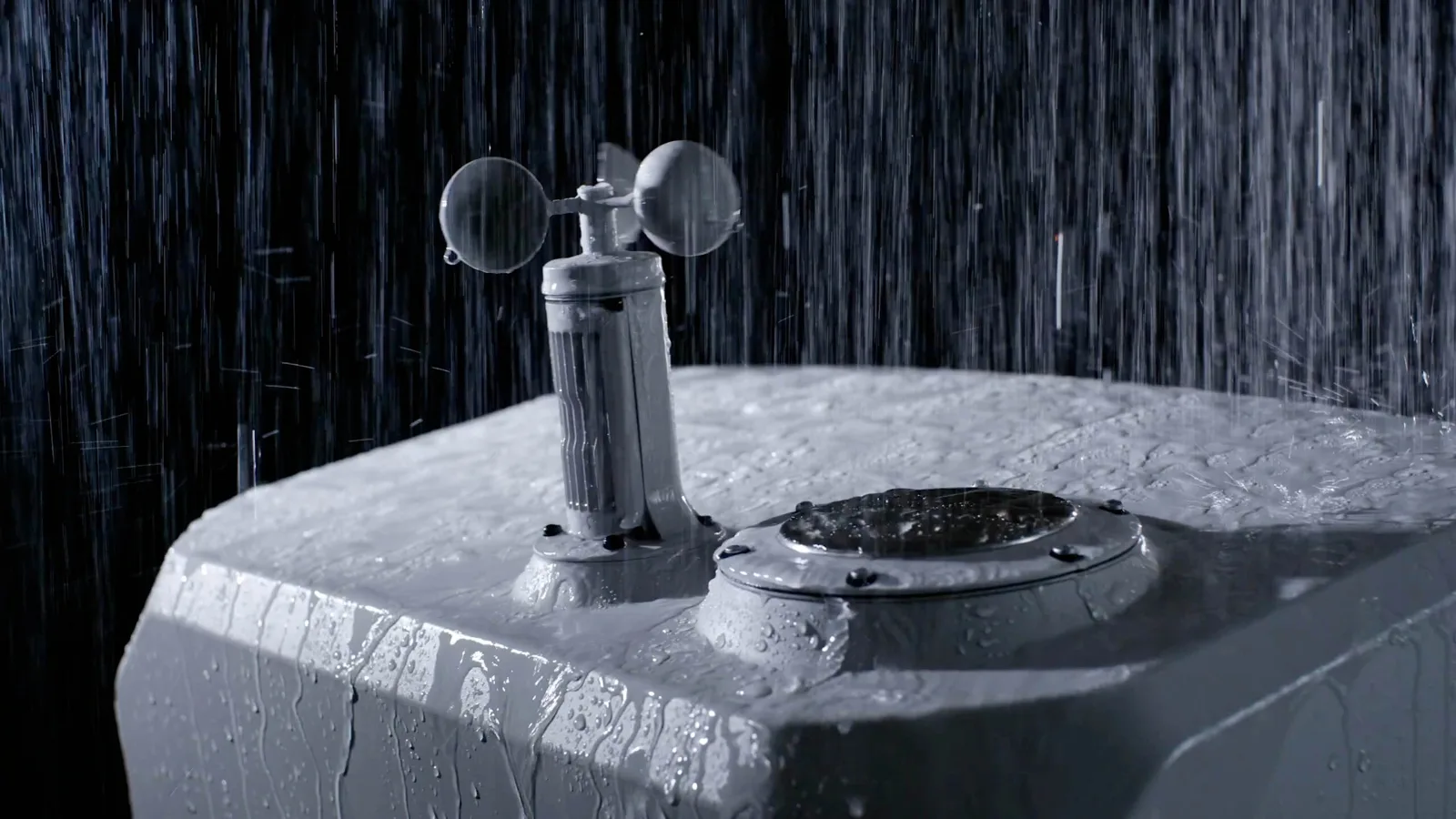
Ingress protection is what decides whether a mine survey program runs year-round or stands down when the weather turns — and it's a real point of difference across the DJI lineup:
| Platform | IP rating | Operating temp | All-weather? |
|---|---|---|---|
| Matrice 4E (handheld) | No standard rating | -10°C to 40°C | Fair-weather; no rain |
| Matrice 400 | IP55 | -20°C to 50°C | Yes; dust & rain, self-heating battery |
| DJI Dock 3 | IP56 | -30°C to 50°C | Yes; sealed, weather sensors |
| Matrice 4D (docked) | IP55 | -20°C to 50°C | Yes; self-heating battery |
The takeaway for a Canadian mine: the standard handheld Matrice 4E has no IP rating and shouldn't fly in rain, so for all-weather work the Matrice 400 (IP55) or a Dock 3 deployment (IP56 dock, IP55 aircraft, -30°C) is the platform. Match the ingress rating to your operating environment during scoping.
Compliance & Operations
Flying near crews and active faces is an advanced operation under CARs Part IX, requiring a pilot certified for Advanced Operations, NAV CANADA authorization in controlled airspace, and a valid RPAS Safety Assurance declaration. We support Transport Canada Advanced Operations, BVLOS pathways, airspace authorization, and SFOC applications — and for teams that don't want to run flights in-house, our Remote Operations Center delivers survey as a managed service.
Common Questions
Which DJI drone is best for mining?
There's no single answer — the Matrice 4E for daily photogrammetry, the Matrice 400 for LiDAR and GPR, and the DJI Dock 3 for automated recurring capture. Most programs combine them.
Can a DJI drone carry LiDAR for mining?
Yes — but only the Matrice 400, which carries a gimbal LiDAR payload like the Zenmuse L3. The compact Matrice 4E and 4D (200 g payload) cannot; they're photogrammetry aircraft.
What's the best DJI drone for stockpile volumetrics?
The Matrice 4E for on-demand surveys, or a DJI Dock 3 with a Matrice 4D for automated, recurring stockpile capture. Both position to 1 cm with RTK.
Which DJI mining drones work in a Canadian winter?
The Matrice 400 (IP55, -20°C) and the Dock 3 with Matrice 4D (dock IP56 to -30°C, aircraft IP55 to -20°C). The standard handheld Matrice 4E is rated only to -10°C with no IP rating.
Do DJI mining outputs work with our planning software?
Yes — exports in LAS/LAZ, DXF, GeoTIFF, and ASCII for MineSight, Deswik, Vulcan, Surpac, and Leapfrog.
Can I fly a DJI drone over crews with a parachute?
Over-people flight is an advanced operation. The Matrice 400 uses the DJI AP100 parachute; the Matrice 4 Series uses the AVSS system. Both are ground-risk mitigations, and we scope the Transport Canada compliance case with you.
The Bottom Line for Canadian Mine & Survey Teams
DJI's mining lineup isn't one drone — it's a photogrammetry aircraft (Matrice 4E), a heavy-lift LiDAR platform (Matrice 400), and an autonomous dock (DJI Dock 3 + Matrice 4D), each matched to a different part of the survey program. Around them, ground SLAM, GPR, and RTK base stations complete a Canadian mine operation. The right build depends on your deposit, your cadence, and your weather — and matching the IP rating and payload to the job is what separates a program that runs year-round from one that doesn't.
If you're scoping a mine or survey program, request a proposal. Tell us the deposit, deliverable cadence, and software stack, and we'll scope the right combination of aircraft, ground platforms, parachute, and processing. You can also see the full mining & surveying program we deploy on Canadian sites.
Matrice 4E vs Matrice 400 vs DJI Dock 3: Which for Your Mine?
The three DJI mining platforms overlap on the surface but do genuinely different jobs. Here's the side-by-side.
| Feature | Matrice 4E | Matrice 400 | DJI Dock 3 + Matrice 4D |
|---|---|---|---|
| Class | Compact mapping quad | Heavy-lift quad | Autonomous dock system |
| Payload | 200 g (integrated camera) | 6 kg (gimbal payloads) | 200 g (integrated camera) |
| Carries LiDAR / GPR? | No | Yes (Zenmuse L3, GPR) | No |
| Mapping camera | 4/3-inch mechanical shutter | Via payload | 4/3-inch mechanical shutter |
| RTK accuracy | 1 cm + 1 ppm | 1 cm + 1 ppm | 1 cm + 1 ppm |
| Max flight time | 49 min | 59 min | 54 min |
| IP rating | No standard rating | IP55 | IP55 aircraft / IP56 dock |
| Operating temp | -10°C to 40°C | -20°C to 50°C | -20°C aircraft / -30°C dock |
| Parachute | AVSS (Matrice 4 Series) | DJI AP100 | AVSS (configuration-specific) |
| Deployment | Handheld | Handheld | Fixed or vehicle-mounted dock |
| Autonomy | Piloted | Piloted | Scheduled, pilot-free |
| Best for | Daily photogrammetry | LiDAR, GPR, heavy survey | Recurring automated capture |
Which One for Your Program?
Choose the Matrice 4E if your day-to-day need is fast, survey-grade photogrammetry — stockpile counts, pit progression, slope captures — that a crew flies on demand.
Choose the Matrice 400 if you need aerial LiDAR, drone GPR, or any dedicated heavy sensor, plus IP55 all-weather capability and the option of the AP100 parachute for over-people work.
Choose a DJI Dock 3 with the Matrice 4D if your need is recurring, pilot-free capture of a pit or site — automated volumetrics, weekly progression, and slope monitoring, run from the office in any weather.
And add the ground and subsurface platforms — GreenValley LiGrip or Leica BLK ARC on Boston Dynamics Spot for underground SLAM, and GPR on the Matrice 400 — for the jobs no aerial photogrammetry aircraft can do. Most mine programs combine a DJI aircraft or dock with these specialist systems.
Not sure which fits? Talk to us — tell us your deposit and deliverable cadence, and we'll scope the right combination rather than sell you one aircraft for every job.
Sources
- DJI Matrice 400, Matrice 4 Series, and Dock 3 specifications: enterprise.dji.com
- DJI Matrice 400, Matrice 4 Series, and Matrice 4D / Dock 3 User Manuals
- Transport Canada, Drone operation categories and pilot certificates: tc.canada.ca
Shop the story
Related products in our catalog
Every product below is stocked and supported by Remote Robotic in Canada.
- DJI Matrice 4E
DJI Matrice 4E
Compact mapping-first M4 Series with wide + medium-tele + tele cameras and laser rangefinder.
View product → - DJI Matrice 400
DJI Matrice 400
Flagship enterprise M400 airframe — 59 min flight, 6 kg payload, multi-sensor ready.
View product → - DJI Dock 3
DJI Dock 3
Automated dock for Matrice 4D and Matrice 4TD remote inspection programs.
View product → - DJI Matrice 4D
DJI Matrice 4D
Dock-native M4D — IP55, ~54 min flight, pairs with Dock 3 for autonomous DFR & BVLOS.
View product → - DJI Zenmuse L3
DJI Zenmuse L3
1535 nm long-range LiDAR + dual 100 MP RGB — survey-grade M400 mapping payload.
View product → - D-RTK 3 Multifunctional Station
D-RTK 3 Multifunctional Station
Cm-level GNSS base / rover / relay — foundation of any M400 survey workflow.
View product → - DJI AP100 Parachute
DJI AP100 Parachute
Certified recovery parachute for the M400 — the enabler for flight over people workflows.
View product → - AVSS Parachute Recovery System for Matrice 4 Series
AVSS Parachute Recovery System for Matrice 4 Series
Parachute recovery system for Matrice 4 Series flight-over-people planning.
View product →